Area Overview for CV9 1JX
Photos of CV9 1JX
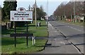
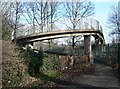
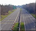
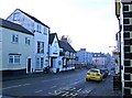

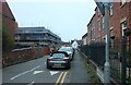
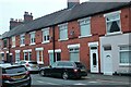
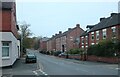
34 photos from this area
Area Information
Key information about the CV9 1JX including its size, population, and administrative classification.
- Area Type
- Postcode
- Area Size
- 1.9 hectares
- Population
- 1981
- Population Density
- 5863 people/km²
House Prices in CV9 1JX
57
Properties
£118,690
Average Sold Price
£59,000
Lowest Price
£185,000
Highest Price
Showing 57 properties
| Address | Type | Beds | Baths | Last Sale Price | Last Sale Date | |
|---|---|---|---|---|---|---|
| 6 Bank Road, Atherstone, CV9 1JX | Semi-detached | 3 | 1 | £180,000 | Nov 2023 | |
| 21 Bank Road, Atherstone, CV9 1JX | Semi-detached | 3 | 1 | £185,000 | Apr 2023 | |
| 28 Bank Road, Atherstone, CV9 1JX | house | 2 | 1 | £177,000 | Jul 2022 | |
| 50 Bank Road, Atherstone, CV9 1JX | Semi-detached | 3 | 1 | £155,000 | Oct 2018 | |
| 31 Bank Road, Atherstone, CV9 1JX | house | 4 | 1 | £145,000 | Aug 2018 | |
| 43 Bank Road, Atherstone, CV9 1JX | Semi-detached | 3 | 1 | £134,500 | Jan 2018 | |
| 34 Bank Road, Atherstone, CV9 1JX | Semi-detached | 3 | 1 | £137,500 | Jan 2018 | |
| 5 Bank Road, Atherstone, CV9 1JX | Semi-detached | 3 | - | £140,000 | Sep 2017 | |
| 64 Bank Road, Atherstone, CV9 1JX | house | 3 | - | £121,000 | Sep 2014 | |
| 45 Bank Road, Atherstone, CV9 1JX | house | 3 | 1 | £82,000 | Dec 2012 |
Page 1 of 6
Energy Efficiency in CV9 1JX
Amenities
Schools
| Rank | School | Type | Entry gender | Ages |
|---|
Explore more schools in this area
Go to Schools tabDemographics
Household Size
One person
most common
Accommodation Type
Houses
most common
Tenure
26
majority
Ethnic Group
White
most common
Religion
N/A
most common
Household Composition
N/A
most common
Age
47
median
Adults (30-64 years)
most common
Household Deprivation
N/A
with no deprivation
NS-SEC
19
in Lower managerial occupations
Explore more demographic insights in this area
Go to Demographics tabPlanning
Planning Constraints
- Flood RiskPremium
- Ramsar Wetland SitesPremium
- Area of Outstanding Natural BeautyPremium
- Protected Nature ReservePremium
- Protected WoodlandPremium