Area Overview for CV9 1BU
Photos of CV9 1BU
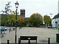
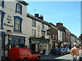
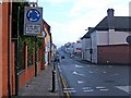
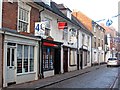
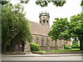
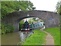
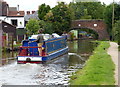
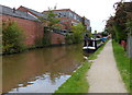
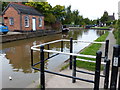
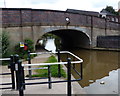
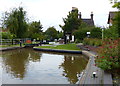
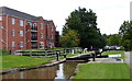
100 photos from this area
Area Information
Key information about the CV9 1BU including its size, population, and administrative classification.
- Area Type
- Postcode
- Area Size
- 2.9 hectares
- Population
- 1981
- Population Density
- 5863 people/km²
House Prices in CV9 1BU
27
Properties
-
Average Sold Price
-
Lowest Price
-
Highest Price
Showing 27 properties
| Address | Type | Beds | Baths | Last Sale Price | Last Sale Date | |
|---|---|---|---|---|---|---|
| FLAT 2, DATA HOUSE, STATION STREET, Atherstone, CV9 1BU | Flat | - | - | - | - | |
| Flat, Coventry Brace Co Ltd, Station Street, Atherstone, CV9 1BU | undefined | - | - | - | - | |
| Flat 1, Data House, Station Street, Atherstone, CV9 1BU | office_workshop | - | - | - | - | |
| 66 Station Street, Atherstone, CV9 1BU | Flat | - | - | - | - | |
| 50 Station Street, Atherstone, CV9 1BU | Flat | - | - | - | - | |
| 68 Station Street, Atherstone, CV9 1BU | retail_financial | - | - | - | - | |
| Office Of Craig Tracey Mp, 76 Station Street, Atherstone, CV9 1BU | Office | - | - | - | - | |
| 16, Three Tuns Courtyard, Station Street, Atherstone, CV9 1BU | Flat | 2 | 1 | - | - | |
| 70 Station Street, Atherstone, CV9 1BU | retail_financial | - | - | - | - | |
| Triple A Taxis, Data House, Station Street, Atherstone, CV9 1BU | Office | - | - | - | - |
Page 1 of 3
Energy Efficiency in CV9 1BU
Amenities
Schools
| Rank | School | Type | Entry gender | Ages |
|---|
Explore more schools in this area
Go to Schools tabDemographics
Household Size
One person
most common
Accommodation Type
Houses
most common
Tenure
26
majority
Ethnic Group
White
most common
Religion
N/A
most common
Household Composition
N/A
most common
Age
47
median
Adults (30-64 years)
most common
Household Deprivation
N/A
with no deprivation
NS-SEC
19
in Lower managerial occupations
Explore more demographic insights in this area
Go to Demographics tabPlanning
Planning Constraints
- Flood RiskPremium
- Ramsar Wetland SitesPremium
- Area of Outstanding Natural BeautyPremium
- Protected Nature ReservePremium
- Protected WoodlandPremium