Area Overview for CV8 2GR
Photos of CV8 2GR
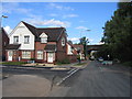
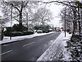
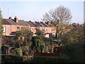
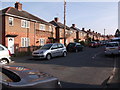
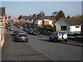
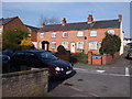
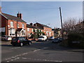
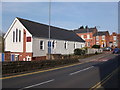
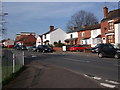
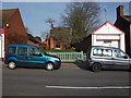
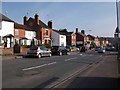
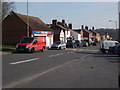
100 photos from this area
Area Information
Key information about the CV8 2GR including its size, population, and administrative classification.
- Area Type
- Postcode
- Area Size
- 9099 m²
- Population
- 1492
- Population Density
- 6184 people/km²
House Prices in CV8 2GR
29
Properties
£201,770
Average Sold Price
£34,750
Lowest Price
£390,000
Highest Price
Showing 29 properties
| Address | Type | Beds | Baths | Last Sale Price | Last Sale Date | |
|---|---|---|---|---|---|---|
| 138 School Lane, Kenilworth, CV8 2GR | Terraced | 2 | 1 | £285,000 | Dec 2024 | |
| 126 School Lane, Kenilworth, CV8 2GR | Cottage | 2 | 2 | £305,000 | Dec 2024 | |
| 136 School Lane, Kenilworth, CV8 2GR | Terraced | 2 | 2 | £293,000 | Nov 2024 | |
| 128 School Lane, Kenilworth, CV8 2GR | Terraced | 2 | 1 | £285,000 | Jun 2024 | |
| 130 School Lane, Kenilworth, CV8 2GR | Terraced | 2 | 1 | £280,000 | May 2023 | |
| 140 School Lane, Kenilworth, CV8 2GR | Terraced | 2 | 1 | £270,000 | Feb 2023 | |
| 146 School Lane, Kenilworth, CV8 2GR | Terraced | 2 | 1 | £335,000 | Jul 2022 | |
| 82 School Lane, Kenilworth, CV8 2GR | house | - | - | £390,000 | Jun 2022 | |
| 152 School Lane, Kenilworth, CV8 2GR | house | - | - | £270,000 | May 2022 | |
| 72 School Lane, Kenilworth, CV8 2GR | Terraced | 3 | 1 | £283,000 | May 2019 |
Page 1 of 3
Energy Efficiency in CV8 2GR
Amenities
Schools
| Rank | School | Type | Entry gender | Ages |
|---|
Explore more schools in this area
Go to Schools tabDemographics
Household Size
One person
most common
Accommodation Type
Houses
most common
Tenure
61
majority
Ethnic Group
White
most common
Religion
N/A
most common
Household Composition
N/A
most common
Age
47
median
Adults (30-64 years)
most common
Household Deprivation
N/A
with no deprivation
NS-SEC
42
in Lower managerial occupations
Explore more demographic insights in this area
Go to Demographics tabPlanning
Planning Constraints
- Flood RiskPremium
- Ramsar Wetland SitesPremium
- Area of Outstanding Natural BeautyPremium
- Protected Nature ReservePremium
- Protected WoodlandPremium