Area Overview for CV8 2GF
Photos of CV8 2GF
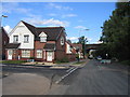
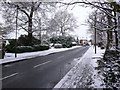
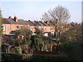
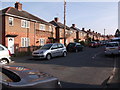
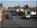
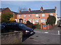
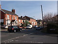
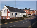
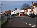
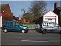
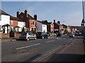
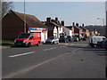
100 photos from this area
Area Information
Key information about the CV8 2GF including its size, population, and administrative classification.
- Area Type
- Postcode
- Area Size
- 1.4 hectares
- Population
- 1492
- Population Density
- 6184 people/km²
House Prices in CV8 2GF
75
Properties
£208,994
Average Sold Price
£37,000
Lowest Price
£370,000
Highest Price
Showing 75 properties
| Address | Type | Beds | Baths | Last Sale Price | Last Sale Date | |
|---|---|---|---|---|---|---|
| 10, Castle Court, Park Road, Kenilworth, CV8 2GF | Terraced | 2 | 1 | £240,000 | Jul 2025 | |
| 17, Castle Court, Park Road, Kenilworth, CV8 2GF | Terraced | 2 | 1 | £290,000 | Dec 2024 | |
| 40 Park Road, Kenilworth, CV8 2GF | Terraced | 3 | 1 | £310,000 | Jun 2023 | |
| 4, Castle Court, Park Road, Kenilworth, CV8 2GF | Flat | - | - | £204,000 | Apr 2023 | |
| 33 Park Road, Kenilworth, CV8 2GF | house | - | - | £300,000 | Nov 2022 | |
| 11, Castle Court, Park Road, Kenilworth, CV8 2GF | Terraced | 2 | 1 | £280,000 | Sep 2022 | |
| 29 Park Road, Kenilworth, CV8 2GF | Terraced | 2 | 1 | £370,000 | Jun 2021 | |
| 32 Park Road, Kenilworth, CV8 2GF | Terraced | 4 | - | £261,500 | Jun 2021 | |
| 31 Park Road, Kenilworth, CV8 2GF | Terraced | 3 | 1 | £357,000 | Dec 2020 | |
| 19 Park Road, Kenilworth, CV8 2GF | Terraced | 3 | 1 | £320,000 | Sep 2020 |
Page 1 of 8
Energy Efficiency in CV8 2GF
Amenities
Schools
| Rank | School | Type | Entry gender | Ages |
|---|
Explore more schools in this area
Go to Schools tabDemographics
Household Size
One person
most common
Accommodation Type
Houses
most common
Tenure
61
majority
Ethnic Group
White
most common
Religion
N/A
most common
Household Composition
N/A
most common
Age
47
median
Adults (30-64 years)
most common
Household Deprivation
N/A
with no deprivation
NS-SEC
42
in Lower managerial occupations
Explore more demographic insights in this area
Go to Demographics tabPlanning
Planning Constraints
- Flood RiskPremium
- Ramsar Wetland SitesPremium
- Area of Outstanding Natural BeautyPremium
- Protected Nature ReservePremium
- Protected WoodlandPremium