Area Overview for CV7 8FR
Photos of CV7 8FR
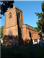
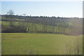
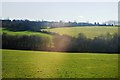
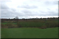
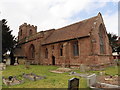
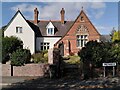
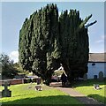
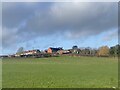
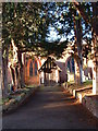
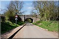
14 photos from this area
Area Information
Key information about the CV7 8FR including its size, population, and administrative classification.
- Area Type
- Postcode
- Area Size
- 4.2 hectares
- Population
- 1481
- Population Density
- 1019 people/km²
House Prices in CV7 8FR
18
Properties
£174,772
Average Sold Price
£59,500
Lowest Price
£290,000
Highest Price
Showing 18 properties
| Address | Type | Beds | Baths | Last Sale Price | Last Sale Date | |
|---|---|---|---|---|---|---|
| 120 Rectory Road, Arley, CV7 8FR | Bungalow | 2 | 1 | £195,000 | Aug 2022 | |
| 113 Rectory Road, Arley, CV7 8FR | Bungalow | 2 | 1 | £280,000 | May 2022 | |
| 121 Rectory Road, Arley, CV7 8FR | Cottage | 2 | 1 | £290,000 | Dec 2021 | |
| 110 Rectory Road, Arley, CV7 8FR | Bungalow | - | - | £260,000 | Sep 2021 | |
| 112 Rectory Road, Arley, CV7 8FR | Bungalow | 2 | - | £147,000 | Feb 2013 | |
| 107 Rectory Road, Arley, CV7 8FR | Bungalow | 2 | - | £179,995 | Jun 2010 | |
| 109 Rectory Road, Arley, CV7 8FR | Bungalow | - | - | £160,000 | Aug 2009 | |
| 111 Rectory Road, Arley, CV7 8FR | Bungalow | - | - | £168,000 | May 2009 | |
| 119 Rectory Road, Arley, CV7 8FR | Bungalow | 2 | 1 | £118,000 | May 2008 | |
| 115 Rectory Road, Arley, CV7 8FR | Detached | 2 | 1 | £65,000 | Mar 2001 |
Page 1 of 2
Energy Efficiency in CV7 8FR
Amenities
Schools
| Rank | School | Type | Entry gender | Ages |
|---|
Explore more schools in this area
Go to Schools tabDemographics
Household Size
One person
most common
Accommodation Type
Houses
most common
Tenure
66
majority
Ethnic Group
White
most common
Religion
N/A
most common
Household Composition
N/A
most common
Age
47
median
Adults (30-64 years)
most common
Household Deprivation
N/A
with no deprivation
NS-SEC
28
in Lower managerial occupations
Explore more demographic insights in this area
Go to Demographics tabPlanning
Planning Constraints
- Flood RiskPremium
- Ramsar Wetland SitesPremium
- Area of Outstanding Natural BeautyPremium
- Protected Nature ReservePremium
- Protected WoodlandPremium