Area Overview for CV6 3HF
Photos of CV6 3HF

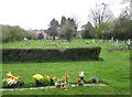
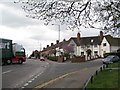
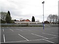
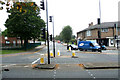
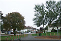
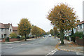
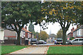
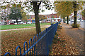
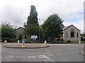
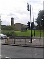
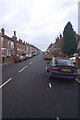
75 photos from this area
Area Information
Key information about the CV6 3HF including its size, population, and administrative classification.
- Area Type
- Postcode
- Area Size
- 8617 m²
- Population
- 1815
- Population Density
- 7992 people/km²
House Prices in CV6 3HF
32
Properties
£97,406
Average Sold Price
£60,000
Lowest Price
£145,000
Highest Price
Showing 32 properties
| Address | Type | Beds | Baths | Last Sale Price | Last Sale Date | |
|---|---|---|---|---|---|---|
| 27 Otterbrook Court, Coventry, CV6 3HF | Flat | 1 | 1 | £105,000 | Sep 2025 | |
| 1 Otterbrook Court, Coventry, CV6 3HF | Maisonette | 2 | 1 | £125,000 | Sep 2024 | |
| 19 Otterbrook Court, Coventry, CV6 3HF | Flat | - | - | £112,000 | Aug 2024 | |
| 22 Otterbrook Court, Coventry, CV6 3HF | Flat | 2 | - | £145,000 | Mar 2023 | |
| 15 Otterbrook Court, Coventry, CV6 3HF | Maisonette | 1 | 1 | £107,500 | Jul 2022 | |
| 7 Otterbrook Court, Coventry, CV6 3HF | Flat | - | - | £120,000 | Sep 2021 | |
| 18 Otterbrook Court, Coventry, CV6 3HF | Flat | - | - | £105,000 | May 2021 | |
| 17 Otterbrook Court, Coventry, CV6 3HF | Flat | - | - | £120,000 | Aug 2020 | |
| 25 Otterbrook Court, Coventry, CV6 3HF | Flat | - | - | £118,000 | Jul 2019 | |
| 6 Otterbrook Court, Coventry, CV6 3HF | Flat | - | - | £85,000 | Jun 2015 |
Page 1 of 4
Energy Efficiency in CV6 3HF
Amenities
Schools
| Rank | School | Type | Entry gender | Ages |
|---|
Explore more schools in this area
Go to Schools tabDemographics
Household Size
Family (3-5 people)
most common
Accommodation Type
Houses
most common
Tenure
47
majority
Ethnic Group
White
most common
Religion
N/A
most common
Household Composition
N/A
most common
Age
47
median
Adults (30-64 years)
most common
Household Deprivation
N/A
with no deprivation
NS-SEC
19
in Lower managerial occupations
Explore more demographic insights in this area
Go to Demographics tabPlanning
Planning Constraints
- Flood RiskPremium
- Ramsar Wetland SitesPremium
- Area of Outstanding Natural BeautyPremium
- Protected Nature ReservePremium
- Protected WoodlandPremium