Area Overview for CV5 8HY
Photos of CV5 8HY
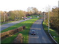
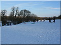

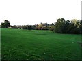
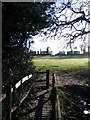
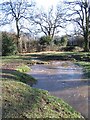
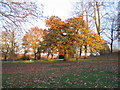
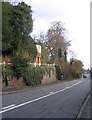
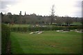
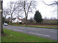
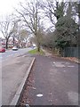
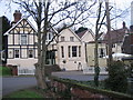
99 photos from this area
Area Information
Key information about the CV5 8HY including its size, population, and administrative classification.
- Area Type
- Postcode
- Area Size
- 8549 m²
- Population
- 1514
- Population Density
- 7536 people/km²
House Prices in CV5 8HY
36
Properties
£180,836
Average Sold Price
£58,500
Lowest Price
£310,000
Highest Price
Showing 36 properties
| Address | Type | Beds | Baths | Last Sale Price | Last Sale Date | |
|---|---|---|---|---|---|---|
| 104 Westbury Road, Coventry, CV5 8HY | Terraced | 3 | 2 | £310,000 | Mar 2025 | |
| 76 Westbury Road, Coventry, CV5 8HY | house | 3 | 1 | £275,000 | Aug 2024 | |
| 100 Westbury Road, Coventry, CV5 8HY | house | - | - | £218,000 | Mar 2023 | |
| 118 Westbury Road, Coventry, CV5 8HY | house | - | - | £212,000 | Sep 2022 | |
| 120 Westbury Road, Coventry, CV5 8HY | house | - | - | £210,000 | May 2022 | |
| 110 Westbury Road, Coventry, CV5 8HY | house | - | - | £190,000 | May 2022 | |
| 60 Westbury Road, Coventry, CV5 8HY | Terraced | 3 | 2 | £310,000 | Mar 2022 | |
| 70 Westbury Road, Coventry, CV5 8HY | house | - | - | £250,000 | Aug 2021 | |
| 78 Westbury Road, Coventry, CV5 8HY | Terraced | 3 | - | £225,000 | May 2021 | |
| 88 Westbury Road, Coventry, CV5 8HY | house | - | - | £200,000 | Apr 2021 |
Page 1 of 4
Energy Efficiency in CV5 8HY
Amenities
Schools
| Rank | School | Type | Entry gender | Ages |
|---|
Explore more schools in this area
Go to Schools tabDemographics
Household Size
Family (3-5 people)
most common
Accommodation Type
Houses
most common
Tenure
81
majority
Ethnic Group
White
most common
Religion
N/A
most common
Household Composition
N/A
most common
Age
47
median
Adults (30-64 years)
most common
Household Deprivation
N/A
with no deprivation
NS-SEC
37
in Lower managerial occupations
Explore more demographic insights in this area
Go to Demographics tabPlanning
Planning Constraints
- Flood RiskPremium
- Ramsar Wetland SitesPremium
- Area of Outstanding Natural BeautyPremium
- Protected Nature ReservePremium
- Protected WoodlandPremium