Area Overview for CV4 9AN
Photos of CV4 9AN
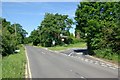
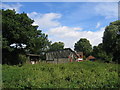
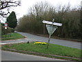
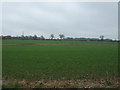
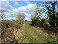
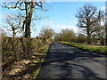
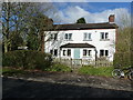
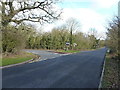
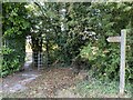
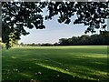
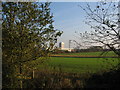
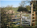
18 photos from this area
Area Information
Key information about the CV4 9AN including its size, population, and administrative classification.
- Area Type
- Postcode
- Area Size
- 8.0 hectares
- Population
- 1715
- Population Density
- 128 people/km²
House Prices in CV4 9AN
100
Properties
£221,168
Average Sold Price
£119,950
Lowest Price
£430,000
Highest Price
Showing 100 properties
| Address | Type | Beds | Baths | Last Sale Price | Last Sale Date | |
|---|---|---|---|---|---|---|
| 38 Jefferson Way, Coventry, CV4 9AN | Terraced | 4 | 2 | £328,000 | Sep 2025 | |
| 50 Jefferson Way, Coventry, CV4 9AN | Terraced | 3 | 2 | £285,000 | Jun 2025 | |
| 60 Jefferson Way, Coventry, CV4 9AN | Terraced | 3 | 2 | £297,000 | Jan 2025 | |
| 66 Jefferson Way, Coventry, CV4 9AN | Terraced | 3 | 2 | £290,000 | Sep 2024 | |
| 36 Jefferson Way, Coventry, CV4 9AN | Semi-detached | 3 | 3 | £265,000 | Sep 2024 | |
| 63 Jefferson Way, Coventry, CV4 9AN | Terraced | 3 | 1 | £240,000 | Apr 2024 | |
| 35 Jefferson Way, Coventry, CV4 9AN | Flat | - | - | £144,000 | Mar 2024 | |
| 15 Jefferson Way, Coventry, CV4 9AN | Semi-detached | 3 | 2 | £235,000 | Feb 2024 | |
| 69 Jefferson Way, Coventry, CV4 9AN | house | 4 | 3 | £338,000 | Dec 2023 | |
| 108 Jefferson Way, Coventry, CV4 9AN | Terraced | - | - | £220,000 | Nov 2023 |
Page 1 of 10
Energy Efficiency in CV4 9AN
Amenities
Schools
| Rank | School | Type | Entry gender | Ages |
|---|
Explore more schools in this area
Go to Schools tabDemographics
Household Size
Two person
most common
Accommodation Type
Houses
most common
Tenure
84
majority
Ethnic Group
White
most common
Religion
N/A
most common
Household Composition
N/A
most common
Age
47
median
Adults (30-64 years)
most common
Household Deprivation
N/A
with no deprivation
NS-SEC
45
in Lower managerial occupations
Explore more demographic insights in this area
Go to Demographics tabPlanning
Planning Constraints
- Flood RiskPremium
- Ramsar Wetland SitesPremium
- Area of Outstanding Natural BeautyPremium
- Protected Nature ReservePremium
- Protected WoodlandPremium