Area Overview for CV35 8PE
Photos of CV35 8PE
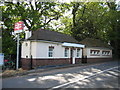
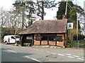
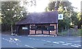
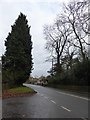
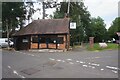
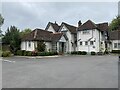

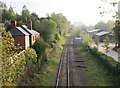

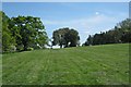
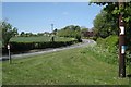
24 photos from this area
Area Information
Key information about the CV35 8PE including its size, population, and administrative classification.
- Area Type
- Postcode
- Area Size
- 75.9 hectares
- Population
- 2290
- Population Density
- 93 people/km²
House Prices in CV35 8PE
26
Properties
£542,777
Average Sold Price
£150,000
Lowest Price
£1,230,000
Highest Price
Showing 26 properties
| Address | Type | Beds | Baths | Last Sale Price | Last Sale Date | |
|---|---|---|---|---|---|---|
| South Hawke, Station Road, Claverdon, CV35 8PE | Retail | 4 | 2 | £1,230,000 | Aug 2022 | |
| Station House, Station Road, Claverdon, CV35 8PE | Detached | 4 | 4 | £515,100 | Jul 2022 | |
| Caroli Domus, Station Road, Claverdon, CV35 8PE | Cottage | 1 | - | £265,000 | Apr 2020 | |
| Mill Cottage, Station Road, Claverdon, CV35 8PE | house | 3 | 1 | £305,000 | Jan 2017 | |
| The Dingle, Station Road, Claverdon, CV35 8PE | house | - | - | £626,000 | Aug 2016 | |
| The Old Mill House, Station Road, Claverdon, CV35 8PE | Detached | 6 | 2 | £625,000 | Feb 2014 | |
| Little Orchard, Station Road, Claverdon, CV35 8PE | Detached | 5 | 3 | £735,000 | Jan 2014 | |
| Hunters Lodge, Station Road, Claverdon, CV35 8PE | house | 5 | - | £1,085,000 | Nov 2013 | |
| Beecourt House, Station Road, Claverdon, CV35 8PE | Detached | 4 | 4 | £435,000 | Sep 2012 | |
| Old Barn, Station Road, Claverdon, CV35 8PE | house | - | - | £385,000 | Jun 2007 |
Page 1 of 3
Energy Efficiency in CV35 8PE
Amenities
Schools
| Rank | School | Type | Entry gender | Ages |
|---|
Explore more schools in this area
Go to Schools tabDemographics
Household Size
Two person
most common
Accommodation Type
Houses
most common
Tenure
83
majority
Ethnic Group
White
most common
Religion
N/A
most common
Household Composition
N/A
most common
Age
47
median
Adults (30-64 years)
most common
Household Deprivation
N/A
with no deprivation
NS-SEC
49
in Lower managerial occupations
Explore more demographic insights in this area
Go to Demographics tabPlanning
Planning Constraints
- Flood RiskPremium
- Ramsar Wetland SitesPremium
- Area of Outstanding Natural BeautyPremium
- Protected Nature ReservePremium
- Protected WoodlandPremium