Area Overview for CV35 8ET
Photos of CV35 8ET

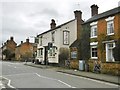
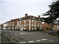
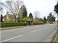
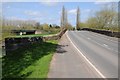
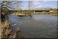
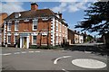
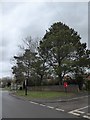
48 photos from this area
Area Information
Key information about the CV35 8ET including its size, population, and administrative classification.
- Area Type
- Postcode
- Area Size
- 1.2 hectares
- Population
- 2079
- Population Density
- 118 people/km²
House Prices in CV35 8ET
12
Properties
£664,583
Average Sold Price
£475,000
Lowest Price
£1,040,000
Highest Price
Showing 12 properties
| Address | Type | Beds | Baths | Last Sale Price | Last Sale Date | |
|---|---|---|---|---|---|---|
| The Garden House, 8A Carter Drive, Barford, CV35 8ET | Detached | 3 | - | £475,000 | Mar 2022 | |
| 8 Carter Drive, Barford, CV35 8ET | house | - | - | £1,040,000 | Dec 2020 | |
| 1 Carter Drive, Barford, CV35 8ET | house | - | - | £675,000 | Oct 2016 | |
| 7 Carter Drive, Barford, CV35 8ET | house | - | - | £517,500 | Nov 2012 | |
| 4 Carter Drive, Barford, CV35 8ET | house | - | - | £585,000 | Jul 2010 | |
| 5 Carter Drive, Barford, CV35 8ET | Detached | - | - | £695,000 | Feb 2007 | |
| Applecross, 5A Carter Drive, Barford, CV35 8ET | Detached | 4 | - | - | - | |
| 3 Carter Drive, Barford, CV35 8ET | Detached | - | - | - | - | |
| 6 Carter Drive, Barford, CV35 8ET | Detached | - | - | - | - | |
| 2 Carter Drive, Barford, CV35 8ET | Detached | - | - | - | - |
Page 1 of 2
Energy Efficiency in CV35 8ET
Amenities
Schools
| Rank | School | Type | Entry gender | Ages |
|---|
Explore more schools in this area
Go to Schools tabDemographics
Household Size
Two person
most common
Accommodation Type
Houses
most common
Tenure
74
majority
Ethnic Group
White
most common
Religion
N/A
most common
Household Composition
N/A
most common
Age
47
median
Adults (30-64 years)
most common
Household Deprivation
N/A
with no deprivation
NS-SEC
53
in Lower managerial occupations
Explore more demographic insights in this area
Go to Demographics tabPlanning
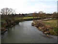
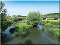
Planning Constraints
- Flood RiskPremium
- Ramsar Wetland SitesPremium
- Area of Outstanding Natural BeautyPremium
- Protected Nature ReservePremium
- Protected WoodlandPremium