Area Overview for CV35 0UN
Photos of CV35 0UN
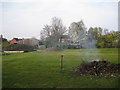
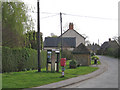
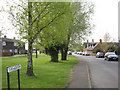
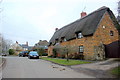
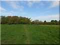
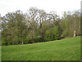
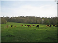
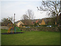
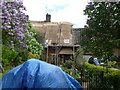
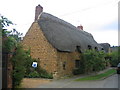
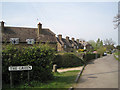

15 photos from this area
Area Information
Key information about the CV35 0UN including its size, population, and administrative classification.
- Area Type
- Postcode
- Area Size
- 68.3 hectares
- Population
- 2338
- Population Density
- 52 people/km²
House Prices in CV35 0UN
22
Properties
£523,944
Average Sold Price
£200,000
Lowest Price
£817,500
Highest Price
Showing 22 properties
| Address | Type | Beds | Baths | Last Sale Price | Last Sale Date | |
|---|---|---|---|---|---|---|
| Beech Cottage, Farnborough Road, Radway, CV35 0UN | Terraced | 3 | 2 | £390,000 | Apr 2019 | |
| Dugdale House, Farnborough Road, Radway, CV35 0UN | house | - | - | £550,000 | Feb 2018 | |
| Peartree Cottage, Farnborough Road, Radway, CV35 0UN | Semi-detached | - | - | £345,000 | Mar 2017 | |
| Shakesfield, Farnborough Road, Radway, CV35 0UN | Detached | 4 | - | £817,500 | Jan 2015 | |
| Smithy Cottage, Farnborough Road, Radway, CV35 0UN | Detached | - | - | £575,000 | Sep 2013 | |
| The Holmes, Farnborough Road, Radway, CV35 0UN | house | - | - | £750,000 | Aug 2013 | |
| Spring Cottage, Farnborough Road, Radway, CV35 0UN | Detached | - | - | £320,000 | Jul 2006 | |
| Langland House, Farnborough Road, Radway, CV35 0UN | Detached | - | - | £768,000 | Jun 2005 | |
| Grafton Cottage, Farnborough Road, Radway, CV35 0UN | Detached | - | - | £200,000 | Mar 2002 | |
| Swift Barn, Townsend Paddocks, Farnborough Road, Radway, CV35 0UN | Detached | 4 | 3 | - | - |
Page 1 of 3
Energy Efficiency in CV35 0UN
Amenities
Schools
| Rank | School | Type | Entry gender | Ages |
|---|
Explore more schools in this area
Go to Schools tabDemographics
Household Size
Two person
most common
Accommodation Type
Houses
most common
Tenure
69
majority
Ethnic Group
White
most common
Religion
N/A
most common
Household Composition
N/A
most common
Age
47
median
Adults (30-64 years)
most common
Household Deprivation
N/A
with no deprivation
NS-SEC
46
in Lower managerial occupations
Explore more demographic insights in this area
Go to Demographics tabPlanning
Planning Constraints
- Flood RiskPremium
- Ramsar Wetland SitesPremium
- Area of Outstanding Natural BeautyPremium
- Protected Nature ReservePremium
- Protected WoodlandPremium