Area Overview for CV33 9TR
Photos of CV33 9TR
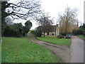
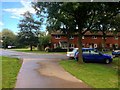
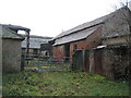
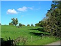
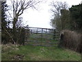
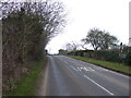
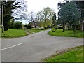
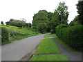
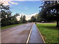
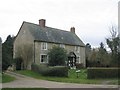
11 photos from this area
Area Information
Key information about the CV33 9TR including its size, population, and administrative classification.
- Area Type
- Postcode
- Area Size
- 7.0 hectares
- Population
- 1424
- Population Density
- 167 people/km²
House Prices in CV33 9TR
32
Properties
£147,464
Average Sold Price
£59,500
Lowest Price
£209,000
Highest Price
Showing 32 properties
| Address | Type | Beds | Baths | Last Sale Price | Last Sale Date | |
|---|---|---|---|---|---|---|
| 29 Edge Hill Road, Lighthorne Heath, CV33 9TR | house | 2 | 1 | £209,000 | Nov 2024 | |
| 15 Edge Hill Road, Lighthorne Heath, CV33 9TR | Terraced | 2 | 1 | £200,000 | Jan 2023 | |
| 4 Edge Hill Road, Lighthorne Heath, CV33 9TR | house | 2 | 1 | £197,500 | May 2022 | |
| 18 Edge Hill Road, Lighthorne Heath, CV33 9TR | Terraced | 2 | - | £158,000 | Feb 2021 | |
| 21 Edge Hill Road, Lighthorne Heath, CV33 9TR | Terraced | 2 | 1 | £146,500 | Feb 2019 | |
| 3 Edge Hill Road, Lighthorne Heath, CV33 9TR | Terraced | 2 | 1 | £150,000 | Feb 2019 | |
| 24 Edge Hill Road, Lighthorne Heath, CV33 9TR | Semi-detached | 2 | 1 | £145,000 | Dec 2018 | |
| 37 Edge Hill Road, Lighthorne Heath, CV33 9TR | house | - | - | £184,000 | Jan 2017 | |
| 9 Edge Hill Road, Lighthorne Heath, CV33 9TR | Terraced | 3 | 3 | £175,000 | Jan 2017 | |
| 1 Edge Hill Road, Lighthorne Heath, CV33 9TR | Terraced | 2 | 1 | £102,000 | Sep 2006 |
Page 1 of 4
Energy Efficiency in CV33 9TR
Amenities
Schools
| Rank | School | Type | Entry gender | Ages |
|---|
Explore more schools in this area
Go to Schools tabDemographics
Household Size
Two person
most common
Accommodation Type
Houses
most common
Tenure
73
majority
Ethnic Group
White
most common
Religion
N/A
most common
Household Composition
N/A
most common
Age
47
median
Adults (30-64 years)
most common
Household Deprivation
N/A
with no deprivation
NS-SEC
40
in Lower managerial occupations
Explore more demographic insights in this area
Go to Demographics tabPlanning
Planning Constraints
- Flood RiskPremium
- Ramsar Wetland SitesPremium
- Area of Outstanding Natural BeautyPremium
- Protected Nature ReservePremium
- Protected WoodlandPremium