Area Overview for CV23 9JS
Photos of CV23 9JS
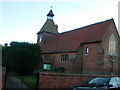
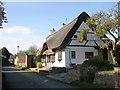
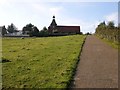
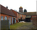
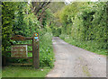
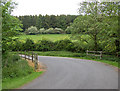

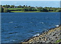
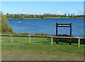
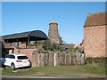
42 photos from this area
Area Information
Key information about the CV23 9JS including its size, population, and administrative classification.
- Area Type
- Postcode
- Area Size
- 19.2 hectares
- Population
- 1455
- Population Density
- 104 people/km²
House Prices in CV23 9JS
42
Properties
£441,719
Average Sold Price
£160,500
Lowest Price
£720,000
Highest Price
Showing 42 properties
| Address | Type | Beds | Baths | Last Sale Price | Last Sale Date | |
|---|---|---|---|---|---|---|
| Fernleigh, Main Street, Thurlaston, CV23 9JS | Detached | 5 | 3 | £610,000 | Nov 2025 | |
| The Paddocks, Main Street, Thurlaston, CV23 9JS | house | 3 | 2 | £585,000 | Jun 2024 | |
| Hawthorns, Main Street, Thurlaston, CV23 9JS | Detached | 4 | 2 | £635,000 | Nov 2023 | |
| 129A Main Street, Thurlaston, CV23 9JS | house | - | - | £245,000 | Oct 2021 | |
| Gosford Revers, Main Street, Thurlaston, CV23 9JS | house | - | - | £570,000 | Apr 2021 | |
| 135 Main Street, Thurlaston, CV23 9JS | house | - | - | £230,000 | Sep 2020 | |
| Stocks House, Main Street, Thurlaston, CV23 9JS | house | 4 | 2 | £704,000 | Aug 2018 | |
| Clydfan, Main Street, Thurlaston, CV23 9JS | Detached | 4 | 1 | £445,950 | Nov 2015 | |
| Welcome Lodge, Main Street, Thurlaston, CV23 9JS | Detached | 4 | 2 | £345,000 | Sep 2015 | |
| The Mill House, Main Street, Thurlaston, CV23 9JS | Detached | 4 | - | £720,000 | Oct 2014 |
Page 1 of 5
Energy Efficiency in CV23 9JS
Amenities
Schools
| Rank | School | Type | Entry gender | Ages |
|---|
Explore more schools in this area
Go to Schools tabDemographics
Household Size
Two person
most common
Accommodation Type
Houses
most common
Tenure
93
majority
Ethnic Group
White
most common
Religion
N/A
most common
Household Composition
N/A
most common
Age
47
median
Elderly (65+ years)
most common
Household Deprivation
N/A
with no deprivation
NS-SEC
51
in Lower managerial occupations
Explore more demographic insights in this area
Go to Demographics tabPlanning
Planning Constraints
- Flood RiskPremium
- Ramsar Wetland SitesPremium
- Area of Outstanding Natural BeautyPremium
- Protected Nature ReservePremium
- Protected WoodlandPremium