Area Overview for CV2 4JS
Photos of CV2 4JS
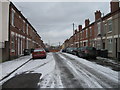
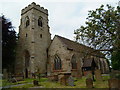

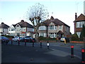


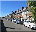
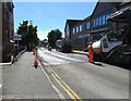


50 photos from this area
Area Information
Key information about the CV2 4JS including its size, population, and administrative classification.
- Area Type
- Postcode
- Area Size
- 1.1 hectares
- Population
- 1731
- Population Density
- 6689 people/km²
House Prices in CV2 4JS
37
Properties
£114,258
Average Sold Price
£29,000
Lowest Price
£239,995
Highest Price
Showing 37 properties
| Address | Type | Beds | Baths | Last Sale Price | Last Sale Date | |
|---|---|---|---|---|---|---|
| 2 Dane Road, Coventry, CV2 4JS | Terraced | 3 | 1 | £195,000 | Sep 2025 | |
| 40 Dane Road, Coventry, CV2 4JS | house | - | - | £239,995 | Feb 2025 | |
| 10 Dane Road, Coventry, CV2 4JS | house | 3 | 2 | £220,250 | Dec 2021 | |
| 22 Dane Road, Coventry, CV2 4JS | house | - | - | £180,000 | Nov 2021 | |
| 60 Dane Road, Coventry, CV2 4JS | house | - | - | £160,000 | Apr 2019 | |
| 52 Dane Road, Coventry, CV2 4JS | house | 3 | - | £120,000 | Feb 2016 | |
| 8 Dane Road, Coventry, CV2 4JS | Terraced | 3 | - | £152,000 | Aug 2014 | |
| 62 Dane Road, Coventry, CV2 4JS | Terraced | 3 | - | £123,000 | Dec 2013 | |
| 58 Dane Road, Coventry, CV2 4JS | house | - | - | £127,000 | Apr 2010 | |
| 38 Dane Road, Coventry, CV2 4JS | house | - | - | £110,000 | Nov 2009 |
Page 1 of 4
Energy Efficiency in CV2 4JS
Amenities
Schools
| Rank | School | Type | Entry gender | Ages |
|---|
Explore more schools in this area
Go to Schools tabDemographics
Household Size
Family (3-5 people)
most common
Accommodation Type
Houses
most common
Tenure
49
majority
Ethnic Group
White
most common
Religion
N/A
most common
Household Composition
N/A
most common
Age
47
median
Adults (30-64 years)
most common
Household Deprivation
N/A
with no deprivation
NS-SEC
20
in Lower managerial occupations
Explore more demographic insights in this area
Go to Demographics tabPlanning
Planning Constraints
- Flood RiskPremium
- Ramsar Wetland SitesPremium
- Area of Outstanding Natural BeautyPremium
- Protected Nature ReservePremium
- Protected WoodlandPremium