Area Overview for CV1 5DL
Photos of CV1 5DL
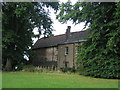
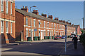
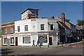

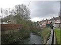
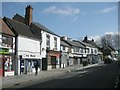

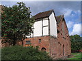

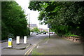
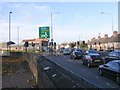
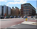
100 photos from this area
Area Information
Key information about the CV1 5DL including its size, population, and administrative classification.
- Area Type
- Postcode
- Area Size
- 6.1 hectares
- Population
- 1922
- Population Density
- 6709 people/km²
House Prices in CV1 5DL
20
Properties
-
Average Sold Price
-
Lowest Price
-
Highest Price
Showing 20 properties
| Address | Type | Beds | Baths | Last Sale Price | Last Sale Date | |
|---|---|---|---|---|---|---|
| Flat, The Oak Inn, 119 Gosford Street, Coventry, CV1 5DL | Flat | 4 | 1 | - | - | |
| 90 Gosford Street, Coventry, CV1 5DL | commercial | - | - | - | - | |
| Coventry University, William Morris Building, 92-94 Gosford Street, Coventry, CV1 5DL | restaurant_cafe | - | - | - | - | |
| Flat A, 116 Gosford Street, Coventry, CV1 5DL | Detached | 5 | 2 | - | - | |
| Oak Inn, The Oak Inn, 119 Gosford Street, Coventry, CV1 5DL | restaurant_cafe | - | - | - | - | |
| Whitefriars Olde Alehouse, 114-115 Gosford Street, Coventry, CV1 5DL | Leisure | - | - | - | - | |
| National Tyres And Autocare, 59-66 Gosford Street, Coventry, CV1 5DL | Industrial | - | - | - | - | |
| The Quids Inn, 117 Gosford Street, Coventry, CV1 5DL | restaurant_cafe | - | - | - | - | |
| Apartment 3, 113A Gosford Street, Coventry, CV1 5DL | Flat | - | - | - | - | |
| Apartment 9, 113A Gosford Street, Coventry, CV1 5DL | Flat | - | - | - | - |
Page 1 of 2
Energy Efficiency in CV1 5DL
Amenities
Schools
| Rank | School | Type | Entry gender | Ages |
|---|
Explore more schools in this area
Go to Schools tabDemographics
Household Size
One person
most common
Accommodation Type
Houses
most common
Tenure
11
majority
Ethnic Group
White
most common
Religion
N/A
most common
Household Composition
N/A
most common
Age
22
median
Young Adults (15-29 years)
most common
Household Deprivation
N/A
with no deprivation
NS-SEC
5
in Lower managerial occupations
Explore more demographic insights in this area
Go to Demographics tabPlanning
Planning Constraints
- Flood RiskPremium
- Ramsar Wetland SitesPremium
- Area of Outstanding Natural BeautyPremium
- Protected Nature ReservePremium
- Protected WoodlandPremium