Area Overview for B98 9NQ
Photos of B98 9NQ
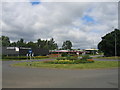
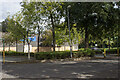
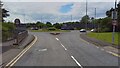
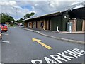
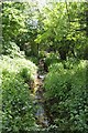
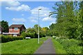
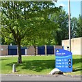
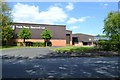
22 photos from this area
Area Information
Key information about the B98 9NQ including its size, population, and administrative classification.
- Area Type
- Postcode
- Area Size
- 2.3 hectares
- Population
- 1310
- Population Density
- 1798 people/km²
House Prices in B98 9NQ
25
Properties
£177,738
Average Sold Price
£642
Lowest Price
£379,000
Highest Price
Showing 25 properties
| Address | Type | Beds | Baths | Last Sale Price | Last Sale Date | |
|---|---|---|---|---|---|---|
| 11 Latchford Close, Redditch, B98 9NQ | Detached | 4 | 1 | £379,000 | Mar 2024 | |
| 19 Latchford Close, Redditch, B98 9NQ | Detached | - | - | £642 | Dec 2019 | |
| 23 Latchford Close, Redditch, B98 9NQ | Detached | 4 | 2 | £257,000 | Oct 2015 | |
| 4 Latchford Close, Redditch, B98 9NQ | Detached | 3 | - | £120,000 | Sep 2014 | |
| 20 Latchford Close, Redditch, B98 9NQ | Detached | 5 | - | £249,950 | Aug 2014 | |
| 22 Latchford Close, Redditch, B98 9NQ | Detached | 4 | - | £222,500 | Nov 2013 | |
| 2 Latchford Close, Redditch, B98 9NQ | house | 4 | - | £186,000 | May 2010 | |
| 1 Latchford Close, Redditch, B98 9NQ | Detached | - | - | £241,000 | Nov 2007 | |
| 8 Latchford Close, Redditch, B98 9NQ | Detached | - | - | £211,000 | Aug 2003 | |
| 3 Latchford Close, Redditch, B98 9NQ | house | 4 | - | £134,000 | Oct 2001 |
Page 1 of 3
Energy Efficiency in B98 9NQ
Amenities
Schools
| Rank | School | Type | Entry gender | Ages |
|---|
Explore more schools in this area
Go to Schools tabDemographics
Household Size
Two person
most common
Accommodation Type
Houses
most common
Tenure
94
majority
Ethnic Group
White
most common
Religion
N/A
most common
Household Composition
N/A
most common
Age
47
median
Adults (30-64 years)
most common
Household Deprivation
N/A
with no deprivation
NS-SEC
42
in Lower managerial occupations
Explore more demographic insights in this area
Go to Demographics tabPlanning
Planning Constraints
- Flood RiskPremium
- Ramsar Wetland SitesPremium
- Area of Outstanding Natural BeautyPremium
- Protected Nature ReservePremium
- Protected WoodlandPremium