Area Overview for B98 9NF
Photos of B98 9NF
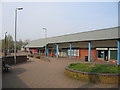
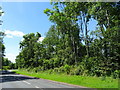
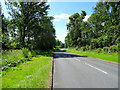
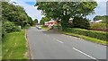
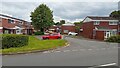
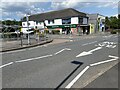
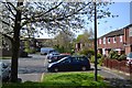
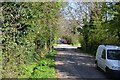
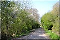
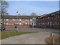
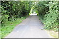
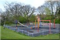
16 photos from this area
Area Information
Key information about the B98 9NF including its size, population, and administrative classification.
- Area Type
- Postcode
- Area Size
- 1.0 hectares
- Population
- 1310
- Population Density
- 1798 people/km²
House Prices in B98 9NF
20
Properties
£248,000
Average Sold Price
£98,000
Lowest Price
£388,000
Highest Price
Showing 20 properties
| Address | Type | Beds | Baths | Last Sale Price | Last Sale Date | |
|---|---|---|---|---|---|---|
| 6 Keele Close, Redditch, B98 9NF | Detached | 4 | 2 | £388,000 | Jul 2025 | |
| 18 Keele Close, Redditch, B98 9NF | Detached | 4 | 1 | £290,000 | Dec 2022 | |
| 5 Keele Close, Redditch, B98 9NF | Detached | 3 | 1 | £260,000 | Nov 2019 | |
| 11 Keele Close, Redditch, B98 9NF | Detached | 4 | 2 | £300,000 | Jul 2018 | |
| 14 Keele Close, Redditch, B98 9NF | Detached | 4 | 1 | £270,000 | Jun 2016 | |
| 9 Keele Close, Redditch, B98 9NF | Detached | 3 | - | £237,000 | Feb 2016 | |
| 12 Keele Close, Redditch, B98 9NF | house | - | - | £268,000 | Nov 2015 | |
| 4 Keele Close, Redditch, B98 9NF | Detached | 4 | 2 | £250,000 | Jul 2014 | |
| 16 Keele Close, Redditch, B98 9NF | house | 4 | - | £215,000 | May 2011 | |
| 2 Keele Close, Redditch, B98 9NF | house | 4 | - | £205,000 | Sep 2010 |
Page 1 of 2
Energy Efficiency in B98 9NF
Amenities
Schools
| Rank | School | Type | Entry gender | Ages |
|---|
Explore more schools in this area
Go to Schools tabDemographics
Household Size
Two person
most common
Accommodation Type
Houses
most common
Tenure
94
majority
Ethnic Group
White
most common
Religion
N/A
most common
Household Composition
N/A
most common
Age
47
median
Adults (30-64 years)
most common
Household Deprivation
N/A
with no deprivation
NS-SEC
42
in Lower managerial occupations
Explore more demographic insights in this area
Go to Demographics tabPlanning
Planning Constraints
- Flood RiskPremium
- Ramsar Wetland SitesPremium
- Area of Outstanding Natural BeautyPremium
- Protected Nature ReservePremium
- Protected WoodlandPremium