Area Overview for B98 8SE
Photos of B98 8SE
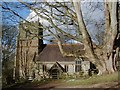
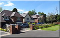
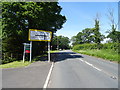
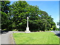
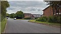
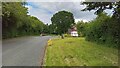
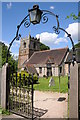
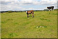

14 photos from this area
Area Information
Key information about the B98 8SE including its size, population, and administrative classification.
- Area Type
- Postcode
- Area Size
- 2.0 hectares
- Population
- 1059
- Population Density
- 1320 people/km²
House Prices in B98 8SE
24
Properties
£212,719
Average Sold Price
£110,000
Lowest Price
£350,000
Highest Price
Showing 24 properties
| Address | Type | Beds | Baths | Last Sale Price | Last Sale Date | |
|---|---|---|---|---|---|---|
| 45 Thornbury Lane, Redditch, B98 8SE | Bungalow | 2 | 2 | £300,000 | Jun 2020 | |
| 25 Thornbury Lane, Redditch, B98 8SE | Detached | 4 | 2 | £350,000 | Nov 2019 | |
| 27 Thornbury Lane, Redditch, B98 8SE | house | - | - | £350,000 | Jun 2018 | |
| 19 Thornbury Lane, Redditch, B98 8SE | Detached | 4 | 2 | £299,950 | Sep 2015 | |
| 7 Thornbury Lane, Redditch, B98 8SE | Detached | 3 | 2 | £233,000 | Nov 2013 | |
| 47 Thornbury Lane, Redditch, B98 8SE | Bungalow | 3 | - | £215,000 | Feb 2011 | |
| 21 Thornbury Lane, Redditch, B98 8SE | Detached | - | - | £231,000 | Oct 2003 | |
| 23 Thornbury Lane, Redditch, B98 8SE | Detached | - | - | £193,000 | May 2003 | |
| 41 Thornbury Lane, Redditch, B98 8SE | Detached | - | - | £119,500 | Jan 1999 | |
| 11 Thornbury Lane, Redditch, B98 8SE | Detached | - | - | £114,000 | Aug 1998 |
Page 1 of 3
Energy Efficiency in B98 8SE
Amenities
Schools
| Rank | School | Type | Entry gender | Ages |
|---|
Explore more schools in this area
Go to Schools tabDemographics
Household Size
Two person
most common
Accommodation Type
Houses
most common
Tenure
96
majority
Ethnic Group
White
most common
Religion
N/A
most common
Household Composition
N/A
most common
Age
47
median
Adults (30-64 years)
most common
Household Deprivation
N/A
with no deprivation
NS-SEC
44
in Lower managerial occupations
Explore more demographic insights in this area
Go to Demographics tabPlanning
Planning Constraints
- Flood RiskPremium
- Ramsar Wetland SitesPremium
- Area of Outstanding Natural BeautyPremium
- Protected Nature ReservePremium
- Protected WoodlandPremium