Area Overview for B98 8RB
Photos of B98 8RB
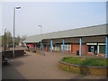
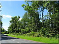
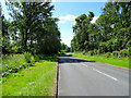
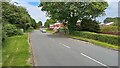
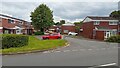
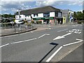
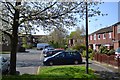
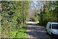
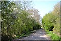
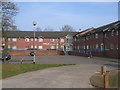
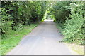
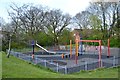
16 photos from this area
Area Information
Key information about the B98 8RB including its size, population, and administrative classification.
- Area Type
- Postcode
- Area Size
- 1.6 hectares
- Population
- 1367
- Population Density
- 5031 people/km²
House Prices in B98 8RB
50
Properties
£135,310
Average Sold Price
£43,500
Lowest Price
£215,000
Highest Price
Showing 50 properties
| Address | Type | Beds | Baths | Last Sale Price | Last Sale Date | |
|---|---|---|---|---|---|---|
| 91 Northleach Close, Redditch, B98 8RB | Terraced | 3 | 1 | £206,000 | Sep 2025 | |
| 56 Northleach Close, Redditch, B98 8RB | Flat | - | - | £100,000 | Jul 2025 | |
| 71 Northleach Close, Redditch, B98 8RB | Terraced | 3 | 1 | £168,000 | Feb 2025 | |
| 95 Northleach Close, Redditch, B98 8RB | Terraced | 3 | 2 | £215,000 | Oct 2024 | |
| 62 Northleach Close, Redditch, B98 8RB | Flat | 1 | 1 | £105,000 | Apr 2023 | |
| 69 Northleach Close, Redditch, B98 8RB | house | - | - | £130,000 | Jan 2023 | |
| 72 Northleach Close, Redditch, B98 8RB | Terraced | 3 | - | £200,000 | Sep 2022 | |
| 74 Northleach Close, Redditch, B98 8RB | Terraced | 4 | 1 | £182,500 | Dec 2020 | |
| 84 Northleach Close, Redditch, B98 8RB | Terraced | 3 | 1 | £154,000 | Oct 2019 | |
| 70 Northleach Close, Redditch, B98 8RB | house | 3 | 1 | £150,000 | Dec 2018 |
Page 1 of 5
Energy Efficiency in B98 8RB
Amenities
Schools
| Rank | School | Type | Entry gender | Ages |
|---|
Explore more schools in this area
Go to Schools tabDemographics
Household Size
Family (3-5 people)
most common
Accommodation Type
Houses
most common
Tenure
62
majority
Ethnic Group
White
most common
Religion
N/A
most common
Household Composition
N/A
most common
Age
47
median
Adults (30-64 years)
most common
Household Deprivation
N/A
with no deprivation
NS-SEC
22
in Lower managerial occupations
Explore more demographic insights in this area
Go to Demographics tabPlanning
Planning Constraints
- Flood RiskPremium
- Ramsar Wetland SitesPremium
- Area of Outstanding Natural BeautyPremium
- Protected Nature ReservePremium
- Protected WoodlandPremium