Area Overview for B98 8QQ
Photos of B98 8QQ
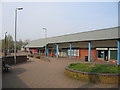
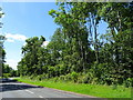
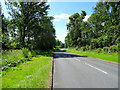
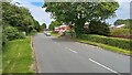
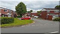
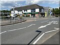
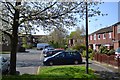
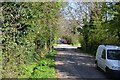
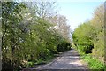
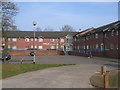
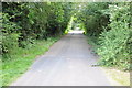
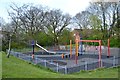
16 photos from this area
Area Information
Key information about the B98 8QQ including its size, population, and administrative classification.
- Area Type
- Postcode
- Area Size
- 1.3 hectares
- Population
- 1367
- Population Density
- 5031 people/km²
House Prices in B98 8QQ
54
Properties
£109,688
Average Sold Price
£64,000
Lowest Price
£163,500
Highest Price
Showing 54 properties
| Address | Type | Beds | Baths | Last Sale Price | Last Sale Date | |
|---|---|---|---|---|---|---|
| 80 Edgeworth Close, Redditch, B98 8QQ | Maisonette | 1 | 1 | £112,500 | Nov 2024 | |
| 67 Edgeworth Close, Redditch, B98 8QQ | Maisonette | 1 | 1 | £113,500 | Nov 2023 | |
| 98 Edgeworth Close, Redditch, B98 8QQ | house | - | - | £155,000 | Dec 2019 | |
| 96 Edgeworth Close, Redditch, B98 8QQ | Terraced | 3 | 1 | £163,500 | Oct 2017 | |
| 61 Edgeworth Close, Redditch, B98 8QQ | Terraced | 2 | 1 | £120,000 | Jul 2015 | |
| 49 Edgeworth Close, Redditch, B98 8QQ | house | - | - | £148,000 | Jul 2015 | |
| 64 Edgeworth Close, Redditch, B98 8QQ | Terraced | 3 | 1 | £124,000 | Feb 2015 | |
| 68 Edgeworth Close, Redditch, B98 8QQ | Flat | 1 | 1 | £66,500 | Sep 2012 | |
| 50 Edgeworth Close, Redditch, B98 8QQ | house | 3 | - | £103,000 | Jul 2011 | |
| 63 Edgeworth Close, Redditch, B98 8QQ | house | - | - | £107,000 | Sep 2007 |
Page 1 of 6
Energy Efficiency in B98 8QQ
Amenities
Schools
| Rank | School | Type | Entry gender | Ages |
|---|
Explore more schools in this area
Go to Schools tabDemographics
Household Size
Family (3-5 people)
most common
Accommodation Type
Houses
most common
Tenure
62
majority
Ethnic Group
White
most common
Religion
N/A
most common
Household Composition
N/A
most common
Age
47
median
Adults (30-64 years)
most common
Household Deprivation
N/A
with no deprivation
NS-SEC
22
in Lower managerial occupations
Explore more demographic insights in this area
Go to Demographics tabPlanning
Planning Constraints
- Flood RiskPremium
- Ramsar Wetland SitesPremium
- Area of Outstanding Natural BeautyPremium
- Protected Nature ReservePremium
- Protected WoodlandPremium