Area Overview for B98 7SD
Photos of B98 7SD
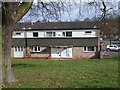
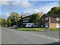
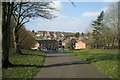
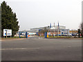
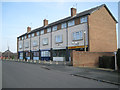
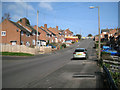
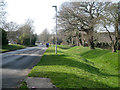
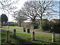
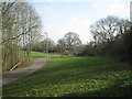
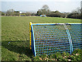
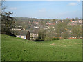
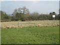
25 photos from this area
Area Information
Key information about the B98 7SD including its size, population, and administrative classification.
- Area Type
- Postcode
- Area Size
- 1.2 hectares
- Population
- 1371
- Population Density
- 8961 people/km²
House Prices in B98 7SD
43
Properties
£96,683
Average Sold Price
£32,500
Lowest Price
£158,000
Highest Price
Showing 43 properties
| Address | Type | Beds | Baths | Last Sale Price | Last Sale Date | |
|---|---|---|---|---|---|---|
| 122 Doverdale Close, Redditch, B98 7SD | house | - | - | £143,000 | Aug 2021 | |
| 106 Doverdale Close, Redditch, B98 7SD | house | - | - | £148,000 | Feb 2021 | |
| 121 Doverdale Close, Redditch, B98 7SD | Terraced | 3 | 1 | £135,000 | Oct 2020 | |
| 103 Doverdale Close, Redditch, B98 7SD | Terraced | 4 | 1 | £158,000 | May 2019 | |
| 66 Doverdale Close, Redditch, B98 7SD | house | - | - | £136,000 | Jul 2018 | |
| 71 Doverdale Close, Redditch, B98 7SD | Terraced | 3 | 1 | £126,000 | Jul 2017 | |
| 124 Doverdale Close, Redditch, B98 7SD | Terraced | 3 | 1 | £110,500 | Feb 2017 | |
| 70 Doverdale Close, Redditch, B98 7SD | house | 3 | - | £99,500 | Aug 2014 | |
| 104 Doverdale Close, Redditch, B98 7SD | house | - | - | £108,000 | Mar 2014 | |
| 94 Doverdale Close, Redditch, B98 7SD | house | - | - | £100,000 | Oct 2010 |
Page 1 of 5
Energy Efficiency in B98 7SD
Amenities
Schools
| Rank | School | Type | Entry gender | Ages |
|---|
Explore more schools in this area
Go to Schools tabDemographics
Household Size
Family (3-5 people)
most common
Accommodation Type
Houses
most common
Tenure
40
majority
Ethnic Group
White
most common
Religion
N/A
most common
Household Composition
N/A
most common
Age
47
median
Adults (30-64 years)
most common
Household Deprivation
N/A
with no deprivation
NS-SEC
16
in Lower managerial occupations
Explore more demographic insights in this area
Go to Demographics tabPlanning
Planning Constraints
- Flood RiskPremium
- Ramsar Wetland SitesPremium
- Area of Outstanding Natural BeautyPremium
- Protected Nature ReservePremium
- Protected WoodlandPremium