Area Overview for B93 8ND
Photos of B93 8ND
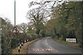
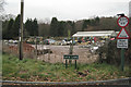
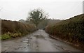
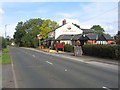
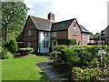
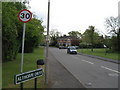
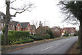

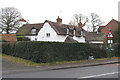
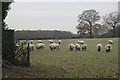
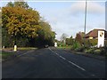
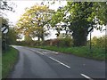
19 photos from this area
Area Information
Key information about the B93 8ND including its size, population, and administrative classification.
- Area Type
- Postcode
- Area Size
- 6.4 hectares
- Population
- 1484
- Population Density
- 444 people/km²
House Prices in B93 8ND
5
Properties
£639,000
Average Sold Price
£493,000
Lowest Price
£785,000
Highest Price
Showing 5 properties
| Address | Type | Beds | Baths | Last Sale Price | Last Sale Date | |
|---|---|---|---|---|---|---|
| Willow Cottage, Four Ashes Road, Dorridge, Solihull, B93 8ND | Detached | 4 | 3 | £785,000 | Oct 2020 | |
| Lilac Cottage, Four Ashes Road, Dorridge, Solihull, B93 8ND | Detached | 3 | 2 | £493,000 | Apr 2014 | |
| Flat At, Drum And Monkey, 177 Four Ashes Road, Dorridge, Solihull, B93 8ND | restaurant_cafe | - | - | - | - | |
| Oak Tree Farm, 222 Four Ashes Road, Dorridge, Solihull, B93 8ND | Detached | - | - | - | - | |
| Spirit Pub Company (services) Ltd, Drum And Monkey, 177 Four Ashes Road, Dorridge, Solihull, B93 8ND | Leisure | - | - | - | - |
Energy Efficiency in B93 8ND
Amenities
Schools
| Rank | School | Type | Entry gender | Ages |
|---|
Explore more schools in this area
Go to Schools tabDemographics
Household Size
Family (3-5 people)
most common
Accommodation Type
Houses
most common
Tenure
93
majority
Ethnic Group
White
most common
Religion
N/A
most common
Household Composition
N/A
most common
Age
47
median
Adults (30-64 years)
most common
Household Deprivation
N/A
with no deprivation
NS-SEC
57
in Lower managerial occupations
Explore more demographic insights in this area
Go to Demographics tabPlanning
Planning Constraints
- Flood RiskPremium
- Ramsar Wetland SitesPremium
- Area of Outstanding Natural BeautyPremium
- Protected Nature ReservePremium
- Protected WoodlandPremium