Area Overview for B91 2AH
Photos of B91 2AH
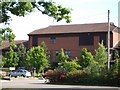
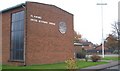
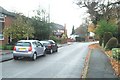
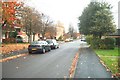
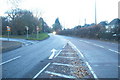
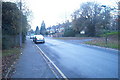
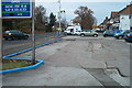
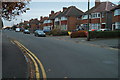
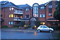
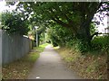
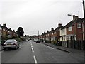
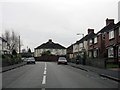
100 photos from this area
Area Information
Key information about the B91 2AH including its size, population, and administrative classification.
- Area Type
- Postcode
- Area Size
- 7364 m²
- Population
- 1740
- Population Density
- 2235 people/km²
House Prices in B91 2AH
26
Properties
£258,167
Average Sold Price
£175,000
Lowest Price
£362,000
Highest Price
Showing 26 properties
| Address | Type | Beds | Baths | Last Sale Price | Last Sale Date | |
|---|---|---|---|---|---|---|
| 14 Grove Avenue, Solihull, B91 2AH | Terraced | 2 | 1 | £275,000 | Oct 2024 | |
| 13 Grove Avenue, Solihull, B91 2AH | Terraced | 2 | 1 | £279,000 | Oct 2023 | |
| 16 Grove Avenue, Solihull, B91 2AH | house | - | - | £362,000 | Nov 2021 | |
| 17 Grove Avenue, Solihull, B91 2AH | house | - | - | £230,000 | Sep 2021 | |
| 2 Grove Avenue, Solihull, B91 2AH | Terraced | 2 | 1 | £268,500 | Aug 2021 | |
| 23 Grove Avenue, Solihull, B91 2AH | house | - | - | £207,000 | Apr 2021 | |
| 22 Grove Avenue, Solihull, B91 2AH | house | - | - | £345,000 | Apr 2017 | |
| 4 Grove Avenue, Solihull, B91 2AH | Terraced | 2 | 1 | £175,000 | Jan 2016 | |
| 5 Grove Avenue, Solihull, B91 2AH | Terraced | 2 | 1 | £182,000 | Feb 2014 | |
| 3 Grove Avenue, Solihull, B91 2AH | Terraced | 2 | 1 | - | - |
Page 1 of 3
Energy Efficiency in B91 2AH
Amenities
Schools
| Rank | School | Type | Entry gender | Ages |
|---|
Explore more schools in this area
Go to Schools tabDemographics
Household Size
One person
most common
Accommodation Type
Flats
most common
Tenure
65
majority
Ethnic Group
White
most common
Religion
N/A
most common
Household Composition
N/A
most common
Age
47
median
Elderly (65+ years)
most common
Household Deprivation
N/A
with no deprivation
NS-SEC
47
in Lower managerial occupations
Explore more demographic insights in this area
Go to Demographics tabPlanning
Planning Constraints
- Flood RiskPremium
- Ramsar Wetland SitesPremium
- Area of Outstanding Natural BeautyPremium
- Protected Nature ReservePremium
- Protected WoodlandPremium