Area Overview for B90 2EZ
Photos of B90 2EZ
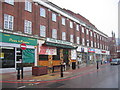
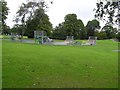
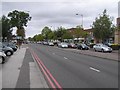
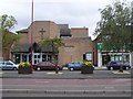

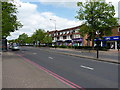
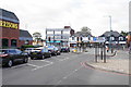

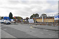
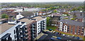

50 photos from this area
Area Information
Key information about the B90 2EZ including its size, population, and administrative classification.
- Area Type
- Postcode
- Area Size
- 1.9 hectares
- Population
- 2297
- Population Density
- 4743 people/km²
House Prices in B90 2EZ
33
Properties
£212,075
Average Sold Price
£56,000
Lowest Price
£420,850
Highest Price
Showing 33 properties
| Address | Type | Beds | Baths | Last Sale Price | Last Sale Date | |
|---|---|---|---|---|---|---|
| 46 Skelcher Road, Shirley, Solihull, B90 2EZ | Detached | 3 | 1 | £292,000 | Apr 2025 | |
| 26 Skelcher Road, Shirley, Solihull, B90 2EZ | Semi-detached | 3 | 1 | £340,000 | Jul 2024 | |
| 10 Skelcher Road, Shirley, Solihull, B90 2EZ | Semi-detached | 3 | 1 | £355,000 | Mar 2024 | |
| 22 Skelcher Road, Shirley, Solihull, B90 2EZ | house | - | - | £420,850 | Jun 2022 | |
| 28 Skelcher Road, Shirley, Solihull, B90 2EZ | Retail | 3 | 1 | £383,000 | May 2022 | |
| 18 Skelcher Road, Shirley, Solihull, B90 2EZ | Semi-detached | 3 | 1 | £293,050 | Feb 2020 | |
| 44 Skelcher Road, Shirley, Solihull, B90 2EZ | Semi-detached | 3 | 1 | £262,000 | Jul 2019 | |
| 54 Skelcher Road, Shirley, Solihull, B90 2EZ | house | - | - | £236,000 | May 2014 | |
| 30 Skelcher Road, Shirley, Solihull, B90 2EZ | Semi-detached | 3 | 1 | £212,500 | Feb 2014 | |
| 48 Skelcher Road, Shirley, Solihull, B90 2EZ | Semi-detached | 3 | - | £207,500 | Oct 2012 |
Page 1 of 4
Energy Efficiency in B90 2EZ
Amenities
Schools
| Rank | School | Type | Entry gender | Ages |
|---|
Explore more schools in this area
Go to Schools tabDemographics
Household Size
Family (3-5 people)
most common
Accommodation Type
Houses
most common
Tenure
78
majority
Ethnic Group
White
most common
Religion
N/A
most common
Household Composition
N/A
most common
Age
47
median
Adults (30-64 years)
most common
Household Deprivation
N/A
with no deprivation
NS-SEC
39
in Lower managerial occupations
Explore more demographic insights in this area
Go to Demographics tabPlanning
Planning Constraints
- Flood RiskPremium
- Ramsar Wetland SitesPremium
- Area of Outstanding Natural BeautyPremium
- Protected Nature ReservePremium
- Protected WoodlandPremium