Area Overview for B80 7PE
Photos of B80 7PE
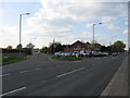

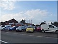
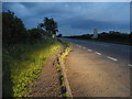
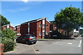
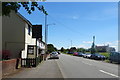
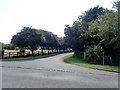
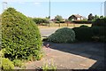
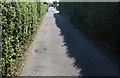
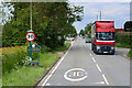
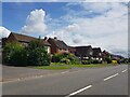
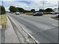
31 photos from this area
Area Information
Key information about the B80 7PE including its size, population, and administrative classification.
- Area Type
- Postcode
- Area Size
- 1.4 hectares
- Population
- 1528
- Population Density
- 1487 people/km²
House Prices in B80 7PE
23
Properties
£332,727
Average Sold Price
£105,000
Lowest Price
£605,000
Highest Price
Showing 23 properties
| Address | Type | Beds | Baths | Last Sale Price | Last Sale Date | |
|---|---|---|---|---|---|---|
| 77 Bromsgrove Road, Studley, B80 7PE | Detached | 5 | 1 | £540,000 | Nov 2025 | |
| 55 Bromsgrove Road, Studley, B80 7PE | Detached | 4 | 2 | £605,000 | Aug 2023 | |
| 53 Bromsgrove Road, Studley, B80 7PE | Detached | 4 | 2 | £475,000 | Feb 2017 | |
| 59 Bromsgrove Road, Studley, B80 7PE | Detached | 4 | 2 | £390,000 | Jan 2017 | |
| 53A Bromsgrove Road, Studley, B80 7PE | Detached | 4 | 2 | £310,000 | Mar 2016 | |
| 79 Bromsgrove Road, Studley, B80 7PE | Detached | 4 | - | £250,000 | Oct 2014 | |
| 65 Bromsgrove Road, Studley, B80 7PE | Detached | - | - | £345,000 | Feb 2008 | |
| 61 Bromsgrove Road, Studley, B80 7PE | Detached | - | - | £385,000 | May 2006 | |
| 81 Bromsgrove Road, Studley, B80 7PE | Detached | 5 | 2 | £105,000 | Jul 2004 | |
| 67 Bromsgrove Road, Studley, B80 7PE | Detached | - | - | £113,000 | Sep 1999 |
Page 1 of 3
Energy Efficiency in B80 7PE
Amenities
Schools
| Rank | School | Type | Entry gender | Ages |
|---|
Explore more schools in this area
Go to Schools tabDemographics
Household Size
Two person
most common
Accommodation Type
Houses
most common
Tenure
66
majority
Ethnic Group
White
most common
Religion
N/A
most common
Household Composition
N/A
most common
Age
47
median
Adults (30-64 years)
most common
Household Deprivation
N/A
with no deprivation
NS-SEC
31
in Lower managerial occupations
Explore more demographic insights in this area
Go to Demographics tabPlanning
Planning Constraints
- Flood RiskPremium
- Ramsar Wetland SitesPremium
- Area of Outstanding Natural BeautyPremium
- Protected Nature ReservePremium
- Protected WoodlandPremium