Area Overview for B80 7PG
Photos of B80 7PG
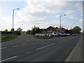

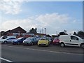

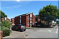
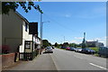
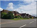
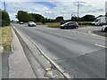
31 photos from this area
Area Information
Key information about the B80 7PG including its size, population, and administrative classification.
- Area Type
- Postcode
- Area Size
- 3.9 hectares
- Population
- 1961
- Population Density
- 53 people/km²
House Prices in B80 7PG
10
Properties
£242,375
Average Sold Price
£102,000
Lowest Price
£410,000
Highest Price
Showing 10 properties
| Address | Type | Beds | Baths | Last Sale Price | Last Sale Date | |
|---|---|---|---|---|---|---|
| 45 Bromsgrove Road, Studley, B80 7PG | house | - | - | £343,000 | Sep 2023 | |
| 49 Bromsgrove Road, Studley, B80 7PG | Retail | 4 | 2 | £410,000 | Oct 2022 | |
| 41 Bromsgrove Road, Studley, B80 7PG | Semi-detached | - | - | £240,000 | Dec 2010 | |
| 37 Bromsgrove Road, Studley, B80 7PG | Detached | - | - | £350,000 | Feb 2007 | |
| 47 Bromsgrove Road, Studley, B80 7PG | Semi-detached | - | - | £235,000 | Feb 2006 | |
| 37A Bromsgrove Road, Studley, B80 7PG | Bungalow | - | - | £124,000 | Jul 2000 | |
| Little Croft, Bromsgrove Road, Studley, B80 7PG | Detached | - | - | £135,000 | Sep 1999 | |
| 41A Bromsgrove Road, Studley, B80 7PG | Detached | - | - | £102,000 | Dec 1998 | |
| 39 Bromsgrove Road, Studley, B80 7PG | house | - | - | - | - | |
| 43 Bromsgrove Road, Studley, B80 7PG | Semi-detached | - | - | - | - |
Energy Efficiency in B80 7PG
Amenities
Schools
| Rank | School | Type | Entry gender | Ages |
|---|
Explore more schools in this area
Go to Schools tabDemographics
Household Size
Two person
most common
Accommodation Type
Houses
most common
Tenure
80
majority
Ethnic Group
White
most common
Religion
N/A
most common
Household Composition
N/A
most common
Age
47
median
Adults (30-64 years)
most common
Household Deprivation
N/A
with no deprivation
NS-SEC
46
in Lower managerial occupations
Explore more demographic insights in this area
Go to Demographics tabPlanning
Planning Constraints
- Flood RiskPremium
- Ramsar Wetland SitesPremium
- Area of Outstanding Natural BeautyPremium
- Protected Nature ReservePremium
- Protected WoodlandPremium