Area Overview for B80 7LU
Photos of B80 7LU
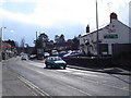
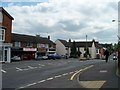
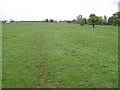
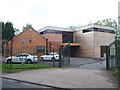
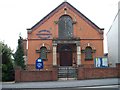
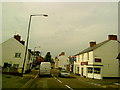
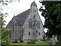
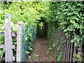
55 photos from this area
Area Information
Key information about the B80 7LU including its size, population, and administrative classification.
- Area Type
- Postcode
- Area Size
- 4.6 hectares
- Population
- 1655
- Population Density
- 249 people/km²
House Prices in B80 7LU
14
Properties
£198,944
Average Sold Price
£52,500
Lowest Price
£405,000
Highest Price
Showing 14 properties
| Address | Type | Beds | Baths | Last Sale Price | Last Sale Date | |
|---|---|---|---|---|---|---|
| 37 Gunners Lane, Studley, B80 7LU | Semi-detached | 5 | 3 | £405,000 | Mar 2025 | |
| 32 Gunners Lane, Studley, B80 7LU | Detached | 3 | 1 | £235,500 | Aug 2017 | |
| 29 Gunners Lane, Studley, B80 7LU | Semi-detached | 3 | 1 | £210,000 | Oct 2014 | |
| 40 Gunners Lane, Studley, B80 7LU | Semi-detached | 3 | 1 | £225,000 | Jun 2014 | |
| 31 Gunners Lane, Studley, B80 7LU | Semi-detached | 4 | 1 | £193,500 | Aug 2013 | |
| 36 Gunners Lane, Studley, B80 7LU | house | - | - | £169,000 | Nov 2009 | |
| 35 Gunners Lane, Studley, B80 7LU | Semi-detached | - | - | £190,000 | Jul 2006 | |
| 30 Gunners Lane, Studley, B80 7LU | Semi-detached | - | - | £110,000 | May 2002 | |
| 28 Gunners Lane, Studley, B80 7LU | Semi-detached | 3 | 1 | £52,500 | Jul 1996 | |
| 27 Gunners Lane, Studley, B80 7LU | Semi-detached | 5 | - | - | - |
Page 1 of 2
Energy Efficiency in B80 7LU
Amenities
Schools
| Rank | School | Type | Entry gender | Ages |
|---|
Explore more schools in this area
Go to Schools tabDemographics
Household Size
Two person
most common
Accommodation Type
Houses
most common
Tenure
75
majority
Ethnic Group
White
most common
Religion
N/A
most common
Household Composition
N/A
most common
Age
47
median
Adults (30-64 years)
most common
Household Deprivation
N/A
with no deprivation
NS-SEC
38
in Lower managerial occupations
Explore more demographic insights in this area
Go to Demographics tabPlanning
Planning Constraints
- Flood RiskPremium
- Ramsar Wetland SitesPremium
- Area of Outstanding Natural BeautyPremium
- Protected Nature ReservePremium
- Protected WoodlandPremium