Area Overview for B8 3AA
Photos of B8 3AA
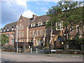
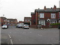
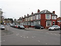
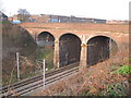
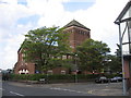
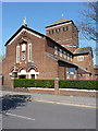
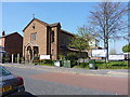
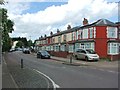
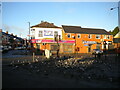
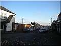
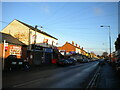
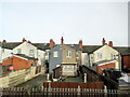
15 photos from this area
Area Information
Key information about the B8 3AA including its size, population, and administrative classification.
- Area Type
- Postcode
- Area Size
- 1.9 hectares
- Population
- 1917
- Population Density
- 15713 people/km²
House Prices in B8 3AA
30
Properties
£99,042
Average Sold Price
£47,500
Lowest Price
£200,000
Highest Price
Showing 30 properties
| Address | Type | Beds | Baths | Last Sale Price | Last Sale Date | |
|---|---|---|---|---|---|---|
| 84 Anthony Road, Birmingham, B8 3AA | house | - | - | £125,000 | Feb 2016 | |
| 98 Anthony Road, Birmingham, B8 3AA | house | - | - | £47,500 | Oct 2015 | |
| 102 Anthony Road, Birmingham, B8 3AA | house | - | - | £95,000 | Oct 2015 | |
| 140 Anthony Road, Birmingham, B8 3AA | house | 1 | - | £114,000 | Dec 2014 | |
| 90 Anthony Road, Birmingham, B8 3AA | house | - | - | £88,000 | May 2012 | |
| 120 Anthony Road, Birmingham, B8 3AA | house | - | - | £85,000 | Mar 2011 | |
| 118 Anthony Road, Birmingham, B8 3AA | house | - | - | £88,000 | Dec 2009 | |
| 142 Anthony Road, Birmingham, B8 3AA | house | - | - | £200,000 | May 2009 | |
| 124 Anthony Road, Birmingham, B8 3AA | house | - | - | £137,000 | Mar 2009 | |
| 112 Anthony Road, Birmingham, B8 3AA | Terraced | - | - | £101,000 | Apr 2006 |
Page 1 of 3
Energy Efficiency in B8 3AA
Amenities
Schools
| Rank | School | Type | Entry gender | Ages |
|---|
Explore more schools in this area
Go to Schools tabDemographics
Household Size
Family (3-5 people)
most common
Accommodation Type
Houses
most common
Tenure
58
majority
Ethnic Group
asian_total
most common
Religion
N/A
most common
Household Composition
N/A
most common
Age
22
median
Adults (30-64 years)
most common
Household Deprivation
N/A
with no deprivation
NS-SEC
13
in Lower managerial occupations
Explore more demographic insights in this area
Go to Demographics tabPlanning
Planning Constraints
- Flood RiskPremium
- Ramsar Wetland SitesPremium
- Area of Outstanding Natural BeautyPremium
- Protected Nature ReservePremium
- Protected WoodlandPremium