Area Overview for B8 3AN
Photos of B8 3AN
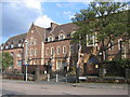
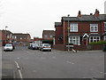
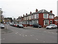
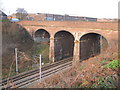
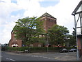
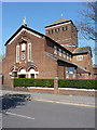
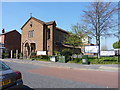
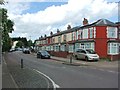
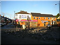
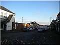
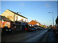
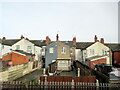
15 photos from this area
Area Information
Key information about the B8 3AN including its size, population, and administrative classification.
- Area Type
- Postcode
- Area Size
- 1.5 hectares
- Population
- 1917
- Population Density
- 15713 people/km²
House Prices in B8 3AN
37
Properties
£103,871
Average Sold Price
£43,500
Lowest Price
£170,000
Highest Price
Showing 37 properties
| Address | Type | Beds | Baths | Last Sale Price | Last Sale Date | |
|---|---|---|---|---|---|---|
| 200 Anthony Road, Birmingham, B8 3AN | house | - | - | £170,000 | Feb 2022 | |
| 193 Anthony Road, Birmingham, B8 3AN | house | - | - | £127,000 | Jul 2019 | |
| 170 Anthony Road, Birmingham, B8 3AN | Terraced | 4 | 2 | £124,950 | Jun 2017 | |
| 172 Anthony Road, Birmingham, B8 3AN | Terraced | - | - | £115,000 | Apr 2017 | |
| 197 Anthony Road, Birmingham, B8 3AN | house | 2 | 1 | £89,000 | Jan 2017 | |
| 220 Anthony Road, Birmingham, B8 3AN | Terraced | 3 | 1 | £95,000 | Feb 2016 | |
| 232 Anthony Road, Birmingham, B8 3AN | Terraced | - | - | £127,000 | May 2008 | |
| 224 Anthony Road, Birmingham, B8 3AN | house | - | - | £120,000 | Sep 2005 | |
| 195 Anthony Road, Birmingham, B8 3AN | house | - | - | £100,000 | Apr 2004 | |
| 208 Anthony Road, Birmingham, B8 3AN | Semi-detached | - | - | £85,000 | Nov 2001 |
Page 1 of 4
Energy Efficiency in B8 3AN
Amenities
Schools
| Rank | School | Type | Entry gender | Ages |
|---|
Explore more schools in this area
Go to Schools tabDemographics
Household Size
Family (3-5 people)
most common
Accommodation Type
Houses
most common
Tenure
58
majority
Ethnic Group
asian_total
most common
Religion
N/A
most common
Household Composition
N/A
most common
Age
22
median
Adults (30-64 years)
most common
Household Deprivation
N/A
with no deprivation
NS-SEC
13
in Lower managerial occupations
Explore more demographic insights in this area
Go to Demographics tabPlanning
Planning Constraints
- Flood RiskPremium
- Ramsar Wetland SitesPremium
- Area of Outstanding Natural BeautyPremium
- Protected Nature ReservePremium
- Protected WoodlandPremium