Area Overview for B8 2NJ
Photos of B8 2NJ
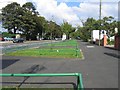
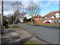
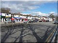
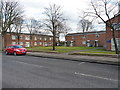
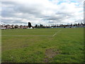
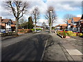
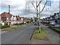
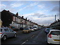
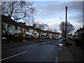
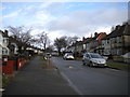
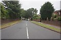

39 photos from this area
Area Information
Key information about the B8 2NJ including its size, population, and administrative classification.
- Area Type
- Postcode
- Area Size
- 9614 m²
- Population
- 2752
- Population Density
- 10856 people/km²
House Prices in B8 2NJ
23
Properties
£167,647
Average Sold Price
£59,999
Lowest Price
£265,000
Highest Price
Showing 23 properties
| Address | Type | Beds | Baths | Last Sale Price | Last Sale Date | |
|---|---|---|---|---|---|---|
| 50 Twyford Road, Birmingham, B8 2NJ | Semi-detached | 3 | 1 | £265,000 | Sep 2024 | |
| 42 Twyford Road, Birmingham, B8 2NJ | Semi-detached | 3 | 1 | £252,000 | Nov 2023 | |
| 14 Twyford Road, Birmingham, B8 2NJ | house | - | - | £180,000 | Sep 2021 | |
| 30 Twyford Road, Birmingham, B8 2NJ | house | 3 | 1 | £255,000 | Mar 2021 | |
| 34 Twyford Road, Birmingham, B8 2NJ | house | - | - | £257,000 | Nov 2020 | |
| 28 Twyford Road, Birmingham, B8 2NJ | house | - | - | £158,000 | Aug 2020 | |
| 56 Twyford Road, Birmingham, B8 2NJ | Semi-detached | 3 | 1 | £195,000 | Feb 2020 | |
| 26 Twyford Road, Birmingham, B8 2NJ | Semi-detached | 3 | 1 | £160,000 | Dec 2018 | |
| 20 Twyford Road, Birmingham, B8 2NJ | Semi-detached | 3 | 1 | £184,995 | Aug 2017 | |
| 44 Twyford Road, Birmingham, B8 2NJ | Semi-detached | 3 | 1 | £140,000 | Oct 2015 |
Page 1 of 3
Energy Efficiency in B8 2NJ
Amenities
Schools
| Rank | School | Type | Entry gender | Ages |
|---|
Explore more schools in this area
Go to Schools tabDemographics
Household Size
Family (3-5 people)
most common
Accommodation Type
Houses
most common
Tenure
66
majority
Ethnic Group
asian_total
most common
Religion
N/A
most common
Household Composition
N/A
most common
Age
22
median
Adults (30-64 years)
most common
Household Deprivation
N/A
with no deprivation
NS-SEC
12
in Lower managerial occupations
Explore more demographic insights in this area
Go to Demographics tabPlanning
Planning Constraints
- Flood RiskPremium
- Ramsar Wetland SitesPremium
- Area of Outstanding Natural BeautyPremium
- Protected Nature ReservePremium
- Protected WoodlandPremium