Area Overview for B8 2NE
Photos of B8 2NE
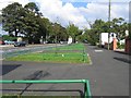
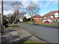
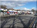
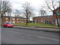
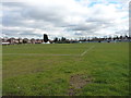
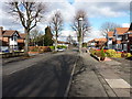
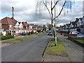
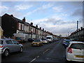
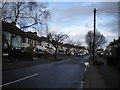
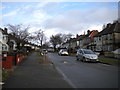
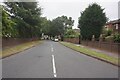

39 photos from this area
Area Information
Key information about the B8 2NE including its size, population, and administrative classification.
- Area Type
- Postcode
- Area Size
- 7438 m²
- Population
- 2752
- Population Density
- 10856 people/km²
House Prices in B8 2NE
22
Properties
£153,293
Average Sold Price
£43,000
Lowest Price
£250,000
Highest Price
Showing 22 properties
| Address | Type | Beds | Baths | Last Sale Price | Last Sale Date | |
|---|---|---|---|---|---|---|
| 30 Mickleover Road, Birmingham, B8 2NE | house | - | - | £225,000 | Apr 2024 | |
| 16 Mickleover Road, Birmingham, B8 2NE | Semi-detached | 3 | - | £250,000 | Jan 2024 | |
| 26 Mickleover Road, Birmingham, B8 2NE | house | - | - | £186,000 | May 2021 | |
| 14 Mickleover Road, Birmingham, B8 2NE | house | - | - | £175,000 | Apr 2021 | |
| 52 Mickleover Road, Birmingham, B8 2NE | Semi-detached | 3 | 1 | £200,000 | Apr 2020 | |
| 12 Mickleover Road, Birmingham, B8 2NE | Semi-detached | 3 | 1 | £195,000 | Mar 2020 | |
| 24 Mickleover Road, Birmingham, B8 2NE | Semi-detached | 3 | 1 | £142,000 | Oct 2016 | |
| 42 Mickleover Road, Birmingham, B8 2NE | Semi-detached | 4 | 2 | £121,000 | Sep 2014 | |
| 44 Mickleover Road, Birmingham, B8 2NE | house | - | - | £135,000 | Mar 2012 | |
| 22 Mickleover Road, Birmingham, B8 2NE | Semi-detached | - | - | £140,000 | Feb 2008 |
Page 1 of 3
Energy Efficiency in B8 2NE
Amenities
Schools
| Rank | School | Type | Entry gender | Ages |
|---|
Explore more schools in this area
Go to Schools tabDemographics
Household Size
Family (3-5 people)
most common
Accommodation Type
Houses
most common
Tenure
66
majority
Ethnic Group
asian_total
most common
Religion
N/A
most common
Household Composition
N/A
most common
Age
22
median
Adults (30-64 years)
most common
Household Deprivation
N/A
with no deprivation
NS-SEC
12
in Lower managerial occupations
Explore more demographic insights in this area
Go to Demographics tabPlanning
Planning Constraints
- Flood RiskPremium
- Ramsar Wetland SitesPremium
- Area of Outstanding Natural BeautyPremium
- Protected Nature ReservePremium
- Protected WoodlandPremium