Area Overview for B77 2HN
Photos of B77 2HN

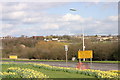
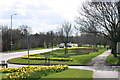
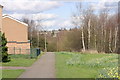
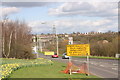
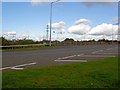
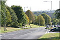
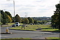
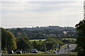
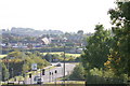


16 photos from this area
Area Information
Key information about the B77 2HN including its size, population, and administrative classification.
- Area Type
- Postcode
- Area Size
- 2.8 hectares
- Population
- 1355
- Population Density
- 4741 people/km²
House Prices in B77 2HN
68
Properties
£90,307
Average Sold Price
£18,000
Lowest Price
£190,000
Highest Price
Showing 68 properties
| Address | Type | Beds | Baths | Last Sale Price | Last Sale Date | |
|---|---|---|---|---|---|---|
| 12 Gresley, Glascote, Tamworth, B77 2HN | Terraced | 3 | - | £107,500 | Jun 2024 | |
| 19 Gresley, Glascote, Tamworth, B77 2HN | house | - | - | £190,000 | Jan 2023 | |
| 46 Gresley, Glascote, Tamworth, B77 2HN | house | - | - | £158,000 | Jan 2021 | |
| 16 Gresley, Glascote, Tamworth, B77 2HN | Terraced | 3 | 1 | £128,000 | Dec 2020 | |
| 9 Gresley, Glascote, Tamworth, B77 2HN | Terraced | 3 | 1 | £120,000 | Dec 2018 | |
| 42 Gresley, Glascote, Tamworth, B77 2HN | Terraced | 3 | 1 | £119,500 | Feb 2018 | |
| 18 Gresley, Glascote, Tamworth, B77 2HN | house | 3 | - | £124,000 | Mar 2017 | |
| 61 Gresley, Glascote, Tamworth, B77 2HN | house | 3 | 1 | £96,000 | Feb 2017 | |
| 48 Gresley, Glascote, Tamworth, B77 2HN | Terraced | 3 | 1 | £112,000 | Oct 2015 | |
| 50 Gresley, Glascote, Tamworth, B77 2HN | Terraced | 3 | - | £117,071 | Oct 2015 |
Page 1 of 7
Energy Efficiency in B77 2HN
Amenities
Schools
| Rank | School | Type | Entry gender | Ages |
|---|
Explore more schools in this area
Go to Schools tabDemographics
Household Size
Family (3-5 people)
most common
Accommodation Type
Houses
most common
Tenure
42
majority
Ethnic Group
White
most common
Religion
N/A
most common
Household Composition
N/A
most common
Age
47
median
Adults (30-64 years)
most common
Household Deprivation
N/A
with no deprivation
NS-SEC
12
in Lower managerial occupations
Explore more demographic insights in this area
Go to Demographics tabPlanning
Planning Constraints
- Flood RiskPremium
- Ramsar Wetland SitesPremium
- Area of Outstanding Natural BeautyPremium
- Protected Nature ReservePremium
- Protected WoodlandPremium