Area Overview for B75 6RD
Photos of B75 6RD
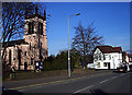

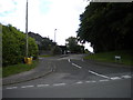
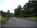
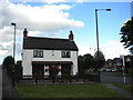
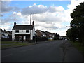
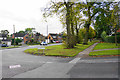

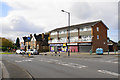

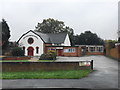

19 photos from this area
Area Information
Key information about the B75 6RD including its size, population, and administrative classification.
- Area Type
- Postcode
- Area Size
- 6562 m²
- Population
- 1499
- Population Density
- 2372 people/km²
House Prices in B75 6RD
16
Properties
£258,623
Average Sold Price
£130,000
Lowest Price
£595,000
Highest Price
Showing 16 properties
| Address | Type | Beds | Baths | Last Sale Price | Last Sale Date | |
|---|---|---|---|---|---|---|
| 8 Streather Road, Sutton Coldfield, B75 6RD | Detached | 4 | 3 | £595,000 | Feb 2025 | |
| 22 Streather Road, Sutton Coldfield, B75 6RD | Semi-detached | 3 | 1 | £397,500 | Aug 2024 | |
| 28 Streather Road, Sutton Coldfield, B75 6RD | Semi-detached | 3 | 1 | £360,000 | Aug 2018 | |
| 18 Streather Road, Sutton Coldfield, B75 6RD | Semi-detached | 4 | - | £240,000 | Mar 2014 | |
| 12 Streather Road, Sutton Coldfield, B75 6RD | Semi-detached | 3 | - | £235,000 | May 2013 | |
| 6 Streather Road, Sutton Coldfield, B75 6RD | Detached | - | - | £290,000 | Jun 2008 | |
| 32 Streather Road, Sutton Coldfield, B75 6RD | Semi-detached | - | - | £248,000 | Jul 2007 | |
| 16 Streather Road, Sutton Coldfield, B75 6RD | Semi-detached | - | - | £225,000 | Jul 2004 | |
| 10 Streather Road, Sutton Coldfield, B75 6RD | Semi-detached | 4 | 2 | £218,000 | Aug 2003 | |
| 30 Streather Road, Sutton Coldfield, B75 6RD | Semi-detached | - | - | £144,000 | Aug 2002 |
Page 1 of 2
Energy Efficiency in B75 6RD
Amenities
Schools
| Rank | School | Type | Entry gender | Ages |
|---|
Explore more schools in this area
Go to Schools tabDemographics
Household Size
Family (3-5 people)
most common
Accommodation Type
Houses
most common
Tenure
92
majority
Ethnic Group
White
most common
Religion
N/A
most common
Household Composition
N/A
most common
Age
47
median
Adults (30-64 years)
most common
Household Deprivation
N/A
with no deprivation
NS-SEC
53
in Lower managerial occupations
Explore more demographic insights in this area
Go to Demographics tabPlanning
Planning Constraints
- Flood RiskPremium
- Ramsar Wetland SitesPremium
- Area of Outstanding Natural BeautyPremium
- Protected Nature ReservePremium
- Protected WoodlandPremium