Area Overview for B75 6RB
Photos of B75 6RB


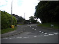
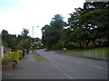
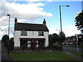
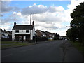
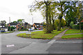

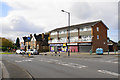

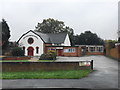

19 photos from this area
Area Information
Key information about the B75 6RB including its size, population, and administrative classification.
- Area Type
- Postcode
- Area Size
- 1.2 hectares
- Population
- 1478
- Population Density
- 1898 people/km²
House Prices in B75 6RB
19
Properties
£272,735
Average Sold Price
£72,500
Lowest Price
£505,000
Highest Price
Showing 19 properties
| Address | Type | Beds | Baths | Last Sale Price | Last Sale Date | |
|---|---|---|---|---|---|---|
| 21 Streather Road, Sutton Coldfield, B75 6RB | Semi-detached | 4 | 1 | £430,000 | Mar 2025 | |
| 1 Streather Road, Sutton Coldfield, B75 6RB | house | 3 | 1 | £465,000 | Aug 2023 | |
| 37 Streather Road, Sutton Coldfield, B75 6RB | Semi-detached | 5 | - | £465,000 | Jun 2020 | |
| 23 Streather Road, Sutton Coldfield, B75 6RB | house | - | - | £430,000 | Mar 2020 | |
| 17 Streather Road, Sutton Coldfield, B75 6RB | Detached | 5 | 2 | £505,000 | Jan 2019 | |
| 11 Streather Road, Sutton Coldfield, B75 6RB | house | - | - | £348,000 | Feb 2018 | |
| 33 Streather Road, Sutton Coldfield, B75 6RB | Semi-detached | 3 | 1 | £195,000 | Oct 2009 | |
| 31 Streather Road, Sutton Coldfield, B75 6RB | Semi-detached | - | - | £277,000 | Aug 2007 | |
| 15 Streather Road, Sutton Coldfield, B75 6RB | Detached | - | - | £110,000 | Jul 1999 | |
| 25 Streather Road, Sutton Coldfield, B75 6RB | Semi-detached | - | - | £95,000 | Jan 1997 |
Page 1 of 2
Energy Efficiency in B75 6RB
Amenities
Schools
| Rank | School | Type | Entry gender | Ages |
|---|
Explore more schools in this area
Go to Schools tabDemographics
Household Size
Two person
most common
Accommodation Type
Houses
most common
Tenure
92
majority
Ethnic Group
White
most common
Religion
N/A
most common
Household Composition
N/A
most common
Age
47
median
Adults (30-64 years)
most common
Household Deprivation
N/A
with no deprivation
NS-SEC
49
in Lower managerial occupations
Explore more demographic insights in this area
Go to Demographics tabPlanning
Planning Constraints
- Flood RiskPremium
- Ramsar Wetland SitesPremium
- Area of Outstanding Natural BeautyPremium
- Protected Nature ReservePremium
- Protected WoodlandPremium