Area Overview for B74 4QP
Photos of B74 4QP
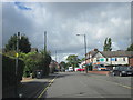
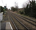
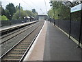
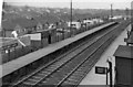
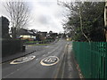
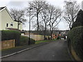
10 photos from this area
Area Information
Key information about the B74 4QP including its size, population, and administrative classification.
- Area Type
- Postcode
- Area Size
- 2.6 hectares
- Population
- 2001
- Population Density
- 2641 people/km²
House Prices in B74 4QP
32
Properties
£475,103
Average Sold Price
£185,000
Lowest Price
£765,750
Highest Price
Showing 32 properties
| Address | Type | Beds | Baths | Last Sale Price | Last Sale Date | |
|---|---|---|---|---|---|---|
| 38 Knighton Drive, Sutton Coldfield, B74 4QP | Detached | 4 | 2 | £622,000 | Apr 2022 | |
| 20 Knighton Drive, Sutton Coldfield, B74 4QP | Detached | 4 | 3 | £650,000 | Mar 2021 | |
| 2 Knighton Drive, Sutton Coldfield, B74 4QP | Detached | 5 | - | £585,000 | Aug 2020 | |
| 28 Knighton Drive, Sutton Coldfield, B74 4QP | Detached | 5 | 3 | £765,750 | Jun 2019 | |
| 30 Knighton Drive, Sutton Coldfield, B74 4QP | Detached | 5 | 2 | £585,000 | Feb 2016 | |
| 36 Knighton Drive, Sutton Coldfield, B74 4QP | house | - | - | £515,000 | Jan 2016 | |
| 5 Knighton Drive, Sutton Coldfield, B74 4QP | Detached | 4 | 1 | £500,000 | Aug 2014 | |
| 17 Knighton Drive, Sutton Coldfield, B74 4QP | house | - | - | £440,000 | Apr 2014 | |
| 12 Knighton Drive, Sutton Coldfield, B74 4QP | house | - | - | £499,999 | Jul 2011 | |
| 8 Knighton Drive, Sutton Coldfield, B74 4QP | house | 4 | - | £450,000 | Jun 2011 |
Page 1 of 4
Energy Efficiency in B74 4QP
Amenities
Schools
| Rank | School | Type | Entry gender | Ages |
|---|
Explore more schools in this area
Go to Schools tabDemographics
Household Size
Two person
most common
Accommodation Type
Houses
most common
Tenure
80
majority
Ethnic Group
White
most common
Religion
N/A
most common
Household Composition
N/A
most common
Age
47
median
Adults (30-64 years)
most common
Household Deprivation
N/A
with no deprivation
NS-SEC
45
in Lower managerial occupations
Explore more demographic insights in this area
Go to Demographics tabPlanning
Planning Constraints
- Flood RiskPremium
- Ramsar Wetland SitesPremium
- Area of Outstanding Natural BeautyPremium
- Protected Nature ReservePremium
- Protected WoodlandPremium