Area Overview for B74 4DH
Photos of B74 4DH
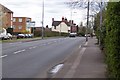
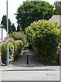
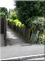
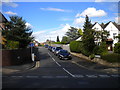
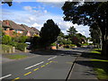
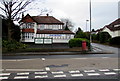
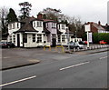
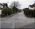
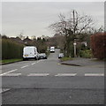
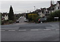
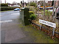
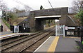
40 photos from this area
Area Information
Key information about the B74 4DH including its size, population, and administrative classification.
- Area Type
- Postcode
- Area Size
- 1.3 hectares
- Population
- 1749
- Population Density
- 2815 people/km²
House Prices in B74 4DH
43
Properties
£389,545
Average Sold Price
£194,000
Lowest Price
£907,500
Highest Price
Showing 43 properties
| Address | Type | Beds | Baths | Last Sale Price | Last Sale Date | |
|---|---|---|---|---|---|---|
| 395 Lichfield Road, Sutton Four Oaks, Sutton Coldfield, B74 4DH | house | 4 | 3 | £907,500 | Jul 2023 | |
| 391 Lichfield Road, Sutton Four Oaks, Sutton Coldfield, B74 4DH | Detached | 5 | 2 | £517,500 | Aug 2018 | |
| 399 Lichfield Road, Sutton Four Oaks, Sutton Coldfield, B74 4DH | Detached | 4 | 2 | £485,000 | May 2018 | |
| 407 Lichfield Road, Sutton Four Oaks, Sutton Coldfield, B74 4DH | house | - | - | £399,000 | Jul 2016 | |
| 405 Lichfield Road, Sutton Four Oaks, Sutton Coldfield, B74 4DH | Detached | 4 | - | £435,000 | Aug 2014 | |
| 383 Lichfield Road, Sutton Four Oaks, Sutton Coldfield, B74 4DH | Semi-detached | 3 | 1 | £245,000 | Jun 2013 | |
| 389 Lichfield Road, Sutton Four Oaks, Sutton Coldfield, B74 4DH | house | 4 | - | £270,000 | Aug 2011 | |
| 397 Lichfield Road, Sutton Four Oaks, Sutton Coldfield, B74 4DH | house | - | - | £329,995 | Aug 2011 | |
| 393 Lichfield Road, Sutton Four Oaks, Sutton Coldfield, B74 4DH | Detached | - | - | £290,000 | Nov 2003 | |
| 385 Lichfield Road, Sutton Four Oaks, Sutton Coldfield, B74 4DH | house | - | - | £194,000 | Nov 2003 |
Page 1 of 5
Energy Efficiency in B74 4DH
Amenities
Schools
| Rank | School | Type | Entry gender | Ages |
|---|
Explore more schools in this area
Go to Schools tabDemographics
Household Size
Family (3-5 people)
most common
Accommodation Type
Houses
most common
Tenure
90
majority
Ethnic Group
White
most common
Religion
N/A
most common
Household Composition
N/A
most common
Age
47
median
Adults (30-64 years)
most common
Household Deprivation
N/A
with no deprivation
NS-SEC
53
in Lower managerial occupations
Explore more demographic insights in this area
Go to Demographics tabPlanning
Planning Constraints
- Flood RiskPremium
- Ramsar Wetland SitesPremium
- Area of Outstanding Natural BeautyPremium
- Protected Nature ReservePremium
- Protected WoodlandPremium