Area Overview for B74 3NU
Photos of B74 3NU
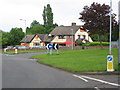
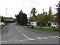
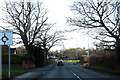
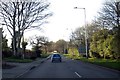
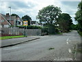
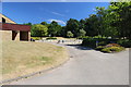
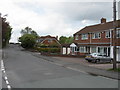

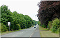
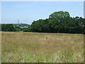
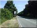
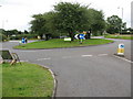
16 photos from this area
Area Information
Key information about the B74 3NU including its size, population, and administrative classification.
- Area Type
- Postcode
- Area Size
- 2.4 hectares
- Population
- 1431
- Population Density
- 532 people/km²
House Prices in B74 3NU
37
Properties
£289,302
Average Sold Price
£13,240
Lowest Price
£876,000
Highest Price
Showing 37 properties
| Address | Type | Beds | Baths | Last Sale Price | Last Sale Date | |
|---|---|---|---|---|---|---|
| 279 Foley Road West, Streetly, B74 3NU | Semi-detached | 3 | 1 | £322,000 | Mar 2023 | |
| 239 Foley Road West, Streetly, B74 3NU | Detached | 5 | 2 | £876,000 | Feb 2023 | |
| 281 Foley Road West, Streetly, B74 3NU | house | - | - | £315,000 | Apr 2022 | |
| 231 Foley Road West, Streetly, B74 3NU | house | - | - | £572,750 | Mar 2021 | |
| 273 Foley Road West, Streetly, B74 3NU | Detached | 4 | 1 | £13,240 | Jun 2019 | |
| 263 Foley Road West, Streetly, B74 3NU | Bungalow | - | - | £250,000 | Oct 2018 | |
| 233 Foley Road West, Streetly, B74 3NU | Detached | 7 | 3 | £600,000 | Sep 2017 | |
| 285 Foley Road West, Streetly, B74 3NU | Semi-detached | 3 | 1 | £239,950 | Aug 2016 | |
| 291 Foley Road West, Streetly, B74 3NU | Bungalow | - | - | £335,000 | Jun 2016 | |
| 225 Foley Road West, Streetly, B74 3NU | Semi-detached | 3 | 1 | £345,000 | May 2016 |
Page 1 of 4
Energy Efficiency in B74 3NU
Amenities
Schools
| Rank | School | Type | Entry gender | Ages |
|---|
Explore more schools in this area
Go to Schools tabDemographics
Household Size
Family (3-5 people)
most common
Accommodation Type
Houses
most common
Tenure
94
majority
Ethnic Group
White
most common
Religion
N/A
most common
Household Composition
N/A
most common
Age
47
median
Adults (30-64 years)
most common
Household Deprivation
N/A
with no deprivation
NS-SEC
46
in Lower managerial occupations
Explore more demographic insights in this area
Go to Demographics tabPlanning
Planning Constraints
- Flood RiskPremium
- Ramsar Wetland SitesPremium
- Area of Outstanding Natural BeautyPremium
- Protected Nature ReservePremium
- Protected WoodlandPremium