Area Overview for B74 3NF
Photos of B74 3NF
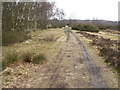
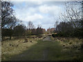
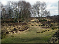
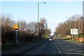
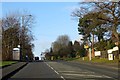


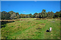
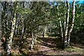
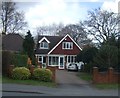

12 photos from this area
Area Information
Key information about the B74 3NF including its size, population, and administrative classification.
- Area Type
- Postcode
- Area Size
- 1.7 hectares
- Population
- 1601
- Population Density
- 3538 people/km²
House Prices in B74 3NF
34
Properties
£243,340
Average Sold Price
£81,000
Lowest Price
£425,000
Highest Price
Showing 34 properties
| Address | Type | Beds | Baths | Last Sale Price | Last Sale Date | |
|---|---|---|---|---|---|---|
| 82 Manor Road, Streetly, B74 3NF | house | - | - | £337,000 | Mar 2025 | |
| 63 Manor Road, Streetly, B74 3NF | Detached | 3 | 2 | £425,000 | Dec 2021 | |
| 61 Manor Road, Streetly, B74 3NF | Semi-detached | 3 | 1 | £375,000 | Jan 2020 | |
| 74 Manor Road, Streetly, B74 3NF | house | - | - | £360,000 | Jun 2017 | |
| 72 Manor Road, Streetly, B74 3NF | house | - | - | £310,500 | Mar 2017 | |
| 83 Manor Road, Streetly, B74 3NF | house | - | - | £295,000 | Mar 2016 | |
| 66 Manor Road, Streetly, B74 3NF | Semi-detached | 3 | - | £247,000 | Nov 2014 | |
| 78 Manor Road, Streetly, B74 3NF | Semi-detached | 4 | - | £295,000 | Jun 2013 | |
| 91 Manor Road, Streetly, B74 3NF | Semi-detached | 3 | - | £230,000 | May 2013 | |
| 90 Manor Road, Streetly, B74 3NF | house | 5 | - | £288,250 | May 2013 |
Page 1 of 4
Energy Efficiency in B74 3NF
Amenities
Schools
| Rank | School | Type | Entry gender | Ages |
|---|
Explore more schools in this area
Go to Schools tabDemographics
Household Size
One person
most common
Accommodation Type
Houses
most common
Tenure
92
majority
Ethnic Group
White
most common
Religion
N/A
most common
Household Composition
N/A
most common
Age
47
median
Adults (30-64 years)
most common
Household Deprivation
N/A
with no deprivation
NS-SEC
40
in Lower managerial occupations
Explore more demographic insights in this area
Go to Demographics tabPlanning
Planning Constraints
- Flood RiskPremium
- Ramsar Wetland SitesPremium
- Area of Outstanding Natural BeautyPremium
- Protected Nature ReservePremium
- Protected WoodlandPremium