Area Overview for B74 2LG
Photos of B74 2LG
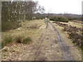
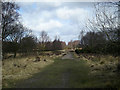
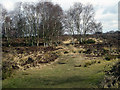
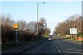
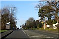
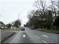
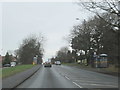
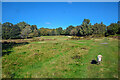
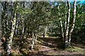
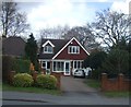
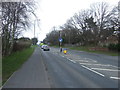
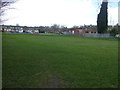
12 photos from this area
Area Information
Key information about the B74 2LG including its size, population, and administrative classification.
- Area Type
- Postcode
- Area Size
- 2.3 hectares
- Population
- 1601
- Population Density
- 3538 people/km²
House Prices in B74 2LG
28
Properties
£387,889
Average Sold Price
£125,000
Lowest Price
£820,000
Highest Price
Showing 28 properties
| Address | Type | Beds | Baths | Last Sale Price | Last Sale Date | |
|---|---|---|---|---|---|---|
| 46 Thornhill Park, Streetly, B74 2LG | Bungalow | 2 | - | £820,000 | Oct 2022 | |
| 54 Thornhill Park, Streetly, B74 2LG | Detached | 5 | - | £725,000 | Mar 2022 | |
| 36 Thornhill Park, Streetly, B74 2LG | Detached | 3 | 1 | £475,000 | Dec 2021 | |
| 14 Thornhill Park, Streetly, B74 2LG | Bungalow | - | - | £543,000 | Jun 2021 | |
| 42 Thornhill Park, Streetly, B74 2LG | house | 4 | - | £640,000 | Jun 2021 | |
| 40 Thornhill Park, Streetly, B74 2LG | house | - | - | £450,000 | Aug 2020 | |
| 48 Thornhill Park, Streetly, B74 2LG | Bungalow | - | - | £414,000 | Apr 2018 | |
| 34 Thornhill Park, Streetly, B74 2LG | Detached | 5 | 2 | £615,000 | Apr 2017 | |
| 16 Thornhill Park, Streetly, B74 2LG | Bungalow | - | - | £429,995 | Jan 2017 | |
| 18 Thornhill Park, Streetly, B74 2LG | Detached | 5 | 3 | £318,000 | Mar 2014 |
Page 1 of 3
Energy Efficiency in B74 2LG
Amenities
Schools
| Rank | School | Type | Entry gender | Ages |
|---|
Explore more schools in this area
Go to Schools tabDemographics
Household Size
One person
most common
Accommodation Type
Houses
most common
Tenure
92
majority
Ethnic Group
White
most common
Religion
N/A
most common
Household Composition
N/A
most common
Age
47
median
Adults (30-64 years)
most common
Household Deprivation
N/A
with no deprivation
NS-SEC
40
in Lower managerial occupations
Explore more demographic insights in this area
Go to Demographics tabPlanning
Planning Constraints
- Flood RiskPremium
- Ramsar Wetland SitesPremium
- Area of Outstanding Natural BeautyPremium
- Protected Nature ReservePremium
- Protected WoodlandPremium