Area Overview for B74 3LT
Photos of B74 3LT
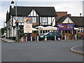
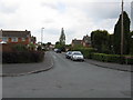
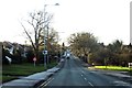
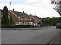
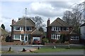
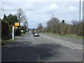
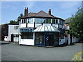
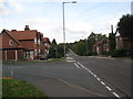
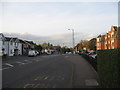
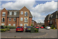
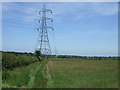
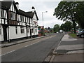
13 photos from this area
Area Information
Key information about the B74 3LT including its size, population, and administrative classification.
- Area Type
- Postcode
- Area Size
- 1.2 hectares
- Population
- 1431
- Population Density
- 532 people/km²
House Prices in B74 3LT
14
Properties
£367,714
Average Sold Price
£228,500
Lowest Price
£437,500
Highest Price
Showing 14 properties
| Address | Type | Beds | Baths | Last Sale Price | Last Sale Date | |
|---|---|---|---|---|---|---|
| 96 Wood Lane, Streetly, B74 3LT | house | - | - | £437,500 | Jun 2017 | |
| 92 Wood Lane, Streetly, B74 3LT | Detached | 4 | - | £430,000 | Feb 2014 | |
| 88 Wood Lane, Streetly, B74 3LT | house | - | - | £375,000 | Nov 2012 | |
| 86 Wood Lane, Streetly, B74 3LT | Bungalow | - | - | £343,000 | Mar 2012 | |
| 52 Wood Lane, Streetly, B74 3LT | Bungalow | 3 | - | £228,500 | Dec 2011 | |
| 98 Wood Lane, Streetly, B74 3LT | Bungalow | - | - | £330,000 | Nov 2009 | |
| 90 Wood Lane, Streetly, B74 3LT | Detached | - | - | £430,000 | Aug 2003 | |
| 100 Wood Lane, Streetly, B74 3LT | house | - | - | - | - | |
| 54 Wood Lane, Streetly, B74 3LT | Detached | - | - | - | - | |
| 84 Wood Lane, Streetly, B74 3LT | Bungalow | - | - | - | - |
Page 1 of 2
Energy Efficiency in B74 3LT
Amenities
Schools
| Rank | School | Type | Entry gender | Ages |
|---|
Explore more schools in this area
Go to Schools tabDemographics
Household Size
Family (3-5 people)
most common
Accommodation Type
Houses
most common
Tenure
94
majority
Ethnic Group
White
most common
Religion
N/A
most common
Household Composition
N/A
most common
Age
47
median
Adults (30-64 years)
most common
Household Deprivation
N/A
with no deprivation
NS-SEC
46
in Lower managerial occupations
Explore more demographic insights in this area
Go to Demographics tabPlanning
Planning Constraints
- Flood RiskPremium
- Ramsar Wetland SitesPremium
- Area of Outstanding Natural BeautyPremium
- Protected Nature ReservePremium
- Protected WoodlandPremium