Area Overview for B74 3EB
Photos of B74 3EB
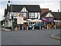
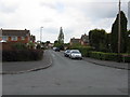
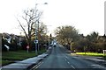
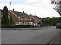
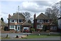
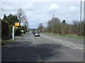
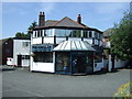
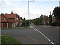
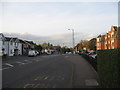
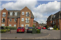
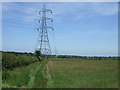
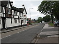
13 photos from this area
Area Information
Key information about the B74 3EB including its size, population, and administrative classification.
- Area Type
- Postcode
- Area Size
- 1.1 hectares
- Population
- 1524
- Population Density
- 1828 people/km²
House Prices in B74 3EB
16
Properties
£379,000
Average Sold Price
£100,000
Lowest Price
£680,000
Highest Price
Showing 16 properties
| Address | Type | Beds | Baths | Last Sale Price | Last Sale Date | |
|---|---|---|---|---|---|---|
| 276A Chester Road, Streetly, B74 3EB | Flat | - | - | £250,000 | Nov 2021 | |
| 296 Chester Road, Streetly, B74 3EB | Detached | 4 | - | £680,000 | Aug 2021 | |
| 292 Chester Road, Streetly, B74 3EB | Detached | 3 | 1 | £385,000 | Jan 2020 | |
| 304 Chester Road, Streetly, B74 3EB | house | 3 | - | £356,000 | Oct 2016 | |
| 298 Chester Road, Streetly, B74 3EB | house | - | - | £450,000 | Apr 2015 | |
| 300 Chester Road, Streetly, B74 3EB | Detached | 4 | 3 | £432,000 | Mar 2007 | |
| 290 Chester Road, Streetly, B74 3EB | Detached | - | - | £100,000 | Apr 1998 | |
| 294 Chester Road, Streetly, B74 3EB | Detached | 5 | 2 | - | - | |
| 302 Chester Road, Streetly, B74 3EB | house | 3 | - | - | - | |
| 334A Chester Road, Streetly, B74 3EB | Flat | - | - | - | - |
Page 1 of 2
Energy Efficiency in B74 3EB
Amenities
Schools
| Rank | School | Type | Entry gender | Ages |
|---|
Explore more schools in this area
Go to Schools tabDemographics
Household Size
Two person
most common
Accommodation Type
Houses
most common
Tenure
88
majority
Ethnic Group
White
most common
Religion
N/A
most common
Household Composition
N/A
most common
Age
47
median
Adults (30-64 years)
most common
Household Deprivation
N/A
with no deprivation
NS-SEC
45
in Lower managerial occupations
Explore more demographic insights in this area
Go to Demographics tabPlanning
Planning Constraints
- Flood RiskPremium
- Ramsar Wetland SitesPremium
- Area of Outstanding Natural BeautyPremium
- Protected Nature ReservePremium
- Protected WoodlandPremium