Area Overview for B74 2BG
Photos of B74 2BG
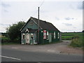
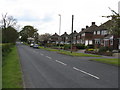
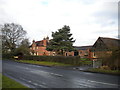
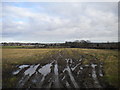
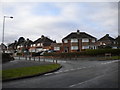
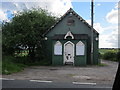
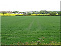
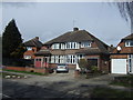
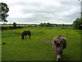
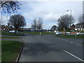
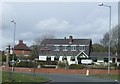
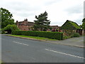
14 photos from this area
Area Information
Key information about the B74 2BG including its size, population, and administrative classification.
- Area Type
- Postcode
- Area Size
- 1.0 hectares
- Population
- 1863
- Population Density
- 5697 people/km²
House Prices in B74 2BG
31
Properties
£176,184
Average Sold Price
£64,000
Lowest Price
£325,000
Highest Price
Showing 31 properties
| Address | Type | Beds | Baths | Last Sale Price | Last Sale Date | |
|---|---|---|---|---|---|---|
| 50 Fordwater Road, Streetly, B74 2BG | Semi-detached | 4 | 1 | £325,000 | Dec 2024 | |
| 64 Fordwater Road, Streetly, B74 2BG | Semi-detached | 3 | 1 | £270,000 | Aug 2020 | |
| 49 Fordwater Road, Streetly, B74 2BG | house | - | - | £256,000 | Mar 2020 | |
| 51 Fordwater Road, Streetly, B74 2BG | house | 3 | - | £250,000 | Jan 2019 | |
| 43 Fordwater Road, Streetly, B74 2BG | Semi-detached | 3 | 1 | £285,000 | Nov 2018 | |
| 56 Fordwater Road, Streetly, B74 2BG | Semi-detached | 3 | 1 | £215,000 | Oct 2015 | |
| 66 Fordwater Road, Streetly, B74 2BG | Semi-detached | 3 | 1 | £173,000 | Oct 2012 | |
| 70 Fordwater Road, Streetly, B74 2BG | house | 3 | - | £165,000 | Jun 2011 | |
| 41 Fordwater Road, Streetly, B74 2BG | house | - | - | £163,000 | Jun 2010 | |
| 47 Fordwater Road, Streetly, B74 2BG | Semi-detached | - | - | £192,000 | Sep 2007 |
Page 1 of 4
Energy Efficiency in B74 2BG
Amenities
Schools
| Rank | School | Type | Entry gender | Ages |
|---|
Explore more schools in this area
Go to Schools tabDemographics
Household Size
Family (3-5 people)
most common
Accommodation Type
Houses
most common
Tenure
89
majority
Ethnic Group
White
most common
Religion
N/A
most common
Household Composition
N/A
most common
Age
47
median
Adults (30-64 years)
most common
Household Deprivation
N/A
with no deprivation
NS-SEC
37
in Lower managerial occupations
Explore more demographic insights in this area
Go to Demographics tabPlanning
Planning Constraints
- Flood RiskPremium
- Ramsar Wetland SitesPremium
- Area of Outstanding Natural BeautyPremium
- Protected Nature ReservePremium
- Protected WoodlandPremium