Area Overview for B71 4DX
Photos of B71 4DX
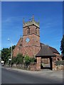
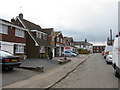
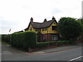
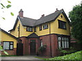
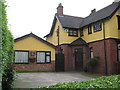
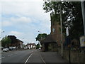
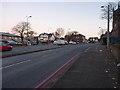

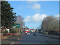

22 photos from this area
Area Information
Key information about the B71 4DX including its size, population, and administrative classification.
- Area Type
- Postcode
- Area Size
- 37.9 hectares
- Population
- 2393
- Population Density
- 1478 people/km²
House Prices in B71 4DX
47
Properties
£196,617
Average Sold Price
£51,600
Lowest Price
£297,450
Highest Price
Showing 47 properties
| Address | Type | Beds | Baths | Last Sale Price | Last Sale Date | |
|---|---|---|---|---|---|---|
| 16 Kyngston Road, West Bromwich, B71 4DX | house | 3 | 1 | £285,000 | May 2022 | |
| 45 Kyngston Road, West Bromwich, B71 4DX | Flat | 2 | 1 | £161,000 | Mar 2022 | |
| 49 Kyngston Road, West Bromwich, B71 4DX | Flat | - | - | £160,000 | Apr 2021 | |
| 21 Kyngston Road, West Bromwich, B71 4DX | house | 2 | 1 | £220,000 | Dec 2020 | |
| 55 Kyngston Road, West Bromwich, B71 4DX | house | - | - | £207,000 | Dec 2020 | |
| 1 Kyngston Road, West Bromwich, B71 4DX | Terraced | 3 | 1 | £188,000 | Jan 2018 | |
| 18 Kyngston Road, West Bromwich, B71 4DX | Semi-detached | 3 | 1 | £218,000 | Oct 2017 | |
| 19 Kyngston Road, West Bromwich, B71 4DX | Semi-detached | 3 | 2 | £200,000 | Mar 2016 | |
| 57 Kyngston Road, West Bromwich, B71 4DX | Semi-detached | 3 | 2 | £185,000 | Feb 2015 | |
| 41 Kyngston Road, West Bromwich, B71 4DX | house | - | - | £51,600 | Jul 2012 |
Page 1 of 5
Energy Efficiency in B71 4DX
Amenities
Schools
| Rank | School | Type | Entry gender | Ages |
|---|
Explore more schools in this area
Go to Schools tabDemographics
Household Size
Family (3-5 people)
most common
Accommodation Type
Houses
most common
Tenure
65
majority
Ethnic Group
White
most common
Religion
N/A
most common
Household Composition
N/A
most common
Age
47
median
Adults (30-64 years)
most common
Household Deprivation
N/A
with no deprivation
NS-SEC
26
in Lower managerial occupations
Explore more demographic insights in this area
Go to Demographics tabPlanning
Planning Constraints
- Flood RiskPremium
- Ramsar Wetland SitesPremium
- Area of Outstanding Natural BeautyPremium
- Protected Nature ReservePremium
- Protected WoodlandPremium