Area Overview for B71 3HS
Photos of B71 3HS
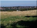
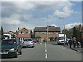
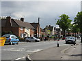
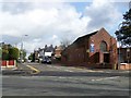
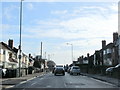
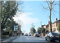
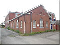
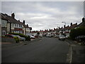
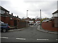
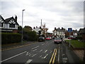
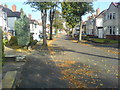
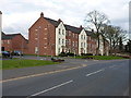
17 photos from this area
Area Information
Key information about the B71 3HS including its size, population, and administrative classification.
- Area Type
- Postcode
- Area Size
- 9567 m²
- Population
- 1718
- Population Density
- 5050 people/km²
House Prices in B71 3HS
16
Properties
£113,613
Average Sold Price
£50,500
Lowest Price
£170,000
Highest Price
Showing 16 properties
| Address | Type | Beds | Baths | Last Sale Price | Last Sale Date | |
|---|---|---|---|---|---|---|
| 229 Walsall Road, West Bromwich, B71 3HS | house | - | - | £170,000 | Nov 2019 | |
| 239 Walsall Road, West Bromwich, B71 3HS | Semi-detached | 3 | 1 | £165,950 | Jul 2015 | |
| 227 Walsall Road, West Bromwich, B71 3HS | Semi-detached | 3 | - | £115,000 | Feb 2009 | |
| 225 Walsall Road, West Bromwich, B71 3HS | Semi-detached | - | - | £134,500 | Sep 2004 | |
| 219 Walsall Road, West Bromwich, B71 3HS | Semi-detached | 3 | - | £122,000 | May 2004 | |
| 217 Walsall Road, West Bromwich, B71 3HS | Detached | - | - | £84,000 | Jan 2002 | |
| 223 Walsall Road, West Bromwich, B71 3HS | Semi-detached | - | - | £66,950 | Oct 1999 | |
| 221 Walsall Road, West Bromwich, B71 3HS | Semi-detached | - | - | £50,500 | Sep 1996 | |
| 243 Walsall Road, West Bromwich, B71 3HS | Terraced | - | - | - | - | |
| 241 Walsall Road, West Bromwich, B71 3HS | Terraced | - | - | - | - |
Page 1 of 2
Energy Efficiency in B71 3HS
Amenities
Schools
| Rank | School | Type | Entry gender | Ages |
|---|
Explore more schools in this area
Go to Schools tabDemographics
Household Size
Family (3-5 people)
most common
Accommodation Type
Houses
most common
Tenure
73
majority
Ethnic Group
White
most common
Religion
N/A
most common
Household Composition
N/A
most common
Age
47
median
Adults (30-64 years)
most common
Household Deprivation
N/A
with no deprivation
NS-SEC
24
in Lower managerial occupations
Explore more demographic insights in this area
Go to Demographics tabPlanning
Planning Constraints
- Flood RiskPremium
- Ramsar Wetland SitesPremium
- Area of Outstanding Natural BeautyPremium
- Protected Nature ReservePremium
- Protected WoodlandPremium