Area Overview for B71 3HN
Photos of B71 3HN
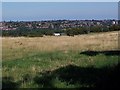
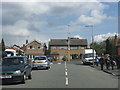
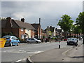
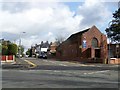
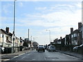
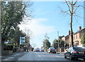
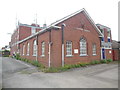
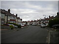
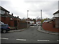
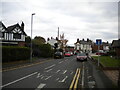
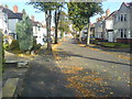
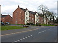
17 photos from this area
Area Information
Key information about the B71 3HN including its size, population, and administrative classification.
- Area Type
- Postcode
- Area Size
- 6958 m²
- Population
- 1718
- Population Density
- 5050 people/km²
House Prices in B71 3HN
20
Properties
£132,620
Average Sold Price
£39,250
Lowest Price
£205,000
Highest Price
Showing 20 properties
| Address | Type | Beds | Baths | Last Sale Price | Last Sale Date | |
|---|---|---|---|---|---|---|
| 104 Walsall Road, West Bromwich, B71 3HN | Semi-detached | 3 | 1 | £200,000 | Mar 2025 | |
| 106 Walsall Road, West Bromwich, B71 3HN | Semi-detached | 3 | 1 | £170,000 | Mar 2024 | |
| 114 Walsall Road, West Bromwich, B71 3HN | Flat | 1 | 1 | £205,000 | Mar 2022 | |
| 100 Walsall Road, West Bromwich, B71 3HN | Semi-detached | - | - | £122,000 | Aug 2011 | |
| 116 Walsall Road, West Bromwich, B71 3HN | house | - | - | £193,000 | Sep 2009 | |
| 120 Walsall Road, West Bromwich, B71 3HN | house | - | - | £105,000 | May 2007 | |
| 112 Walsall Road, West Bromwich, B71 3HN | Semi-detached | - | - | £103,000 | Feb 2004 | |
| 118 Walsall Road, West Bromwich, B71 3HN | Terraced | - | - | £115,000 | Sep 2003 | |
| 124 Walsall Road, West Bromwich, B71 3HN | Semi-detached | - | - | £73,950 | Oct 2002 | |
| 110 Walsall Road, West Bromwich, B71 3HN | Semi-detached | - | - | £39,250 | Mar 1998 |
Page 1 of 2
Energy Efficiency in B71 3HN
Amenities
Schools
| Rank | School | Type | Entry gender | Ages |
|---|
Explore more schools in this area
Go to Schools tabDemographics
Household Size
Family (3-5 people)
most common
Accommodation Type
Houses
most common
Tenure
73
majority
Ethnic Group
White
most common
Religion
N/A
most common
Household Composition
N/A
most common
Age
47
median
Adults (30-64 years)
most common
Household Deprivation
N/A
with no deprivation
NS-SEC
24
in Lower managerial occupations
Explore more demographic insights in this area
Go to Demographics tabPlanning
Planning Constraints
- Flood RiskPremium
- Ramsar Wetland SitesPremium
- Area of Outstanding Natural BeautyPremium
- Protected Nature ReservePremium
- Protected WoodlandPremium