Area Overview for B71 3AP
Photos of B71 3AP
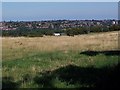
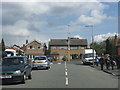
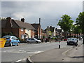
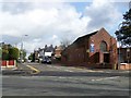
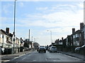


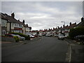
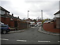
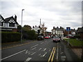
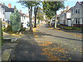
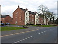
17 photos from this area
Area Information
Key information about the B71 3AP including its size, population, and administrative classification.
- Area Type
- Postcode
- Area Size
- 7551 m²
- Population
- 1718
- Population Density
- 5050 people/km²
House Prices in B71 3AP
19
Properties
£177,239
Average Sold Price
£47,628
Lowest Price
£305,000
Highest Price
Showing 19 properties
| Address | Type | Beds | Baths | Last Sale Price | Last Sale Date | |
|---|---|---|---|---|---|---|
| 4 Bustleholme Lane, West Bromwich, B71 3AP | Semi-detached | 3 | 1 | £305,000 | Apr 2023 | |
| 32 Bustleholme Lane, West Bromwich, B71 3AP | Semi-detached | 3 | 1 | £260,000 | Mar 2023 | |
| 28 Bustleholme Lane, West Bromwich, B71 3AP | house | 3 | 1 | £288,000 | Jul 2022 | |
| 34 Bustleholme Lane, West Bromwich, B71 3AP | house | - | - | £182,000 | Aug 2021 | |
| 30 Bustleholme Lane, West Bromwich, B71 3AP | Semi-detached | 3 | 1 | £180,000 | Jan 2016 | |
| 2 Bustleholme Lane, West Bromwich, B71 3AP | Semi-detached | 3 | 1 | £127,000 | Apr 2015 | |
| 38 Bustleholme Lane, West Bromwich, B71 3AP | house | 3 | - | £130,000 | Aug 2010 | |
| 36 Bustleholme Lane, West Bromwich, B71 3AP | house | - | - | £225,000 | Oct 2005 | |
| 6 Bustleholme Lane, West Bromwich, B71 3AP | Semi-detached | - | - | £115,000 | Feb 2003 | |
| 16 Bustleholme Lane, West Bromwich, B71 3AP | Semi-detached | - | - | £90,000 | Apr 2002 |
Page 1 of 2
Energy Efficiency in B71 3AP
Amenities
Schools
| Rank | School | Type | Entry gender | Ages |
|---|
Explore more schools in this area
Go to Schools tabDemographics
Household Size
Family (3-5 people)
most common
Accommodation Type
Houses
most common
Tenure
73
majority
Ethnic Group
White
most common
Religion
N/A
most common
Household Composition
N/A
most common
Age
47
median
Adults (30-64 years)
most common
Household Deprivation
N/A
with no deprivation
NS-SEC
24
in Lower managerial occupations
Explore more demographic insights in this area
Go to Demographics tabPlanning
Planning Constraints
- Flood RiskPremium
- Ramsar Wetland SitesPremium
- Area of Outstanding Natural BeautyPremium
- Protected Nature ReservePremium
- Protected WoodlandPremium