Area Overview for B71 1AA
Photos of B71 1AA
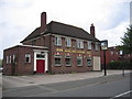
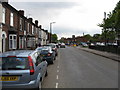


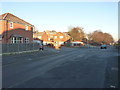
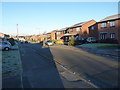
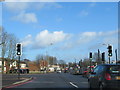
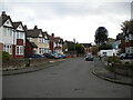
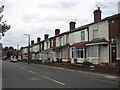
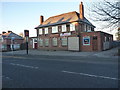

17 photos from this area
Area Information
Key information about the B71 1AA including its size, population, and administrative classification.
- Area Type
- Postcode
- Area Size
- 5506 m²
- Population
- 1812
- Population Density
- 5197 people/km²
House Prices in B71 1AA
12
Properties
£181,277
Average Sold Price
£67,500
Lowest Price
£315,000
Highest Price
Showing 12 properties
| Address | Type | Beds | Baths | Last Sale Price | Last Sale Date | |
|---|---|---|---|---|---|---|
| 11A Arlington Road, West Bromwich, B71 1AA | Semi-detached | 3 | 1 | £315,000 | Oct 2023 | |
| 9 Arlington Road, West Bromwich, B71 1AA | house | - | - | £250,000 | Sep 2021 | |
| 12 Arlington Road, West Bromwich, B71 1AA | Semi-detached | 3 | 1 | £254,000 | Dec 2020 | |
| 10 Arlington Road, West Bromwich, B71 1AA | house | - | - | £158,000 | Feb 2014 | |
| 11 Arlington Road, West Bromwich, B71 1AA | Semi-detached | 3 | 1 | £134,500 | Mar 2011 | |
| 8 Arlington Road, West Bromwich, B71 1AA | Terraced | - | - | £154,995 | Aug 2007 | |
| 2 Arlington Road, West Bromwich, B71 1AA | Semi-detached | - | - | £149,000 | Oct 2006 | |
| 4 Arlington Road, West Bromwich, B71 1AA | Semi-detached | - | - | £148,500 | Dec 2005 | |
| 15 Arlington Road, West Bromwich, B71 1AA | Semi-detached | - | - | £67,500 | Jul 1996 | |
| 19 Arlington Road, West Bromwich, B71 1AA | Semi-detached | - | - | - | - |
Page 1 of 2
Energy Efficiency in B71 1AA
Amenities
Schools
| Rank | School | Type | Entry gender | Ages |
|---|
Explore more schools in this area
Go to Schools tabDemographics
Household Size
Family (3-5 people)
most common
Accommodation Type
Houses
most common
Tenure
76
majority
Ethnic Group
White
most common
Religion
N/A
most common
Household Composition
N/A
most common
Age
47
median
Adults (30-64 years)
most common
Household Deprivation
N/A
with no deprivation
NS-SEC
25
in Lower managerial occupations
Explore more demographic insights in this area
Go to Demographics tabPlanning
Planning Constraints
- Flood RiskPremium
- Ramsar Wetland SitesPremium
- Area of Outstanding Natural BeautyPremium
- Protected Nature ReservePremium
- Protected WoodlandPremium