Area Overview for B68 9DP
Photos of B68 9DP
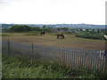
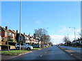
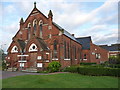
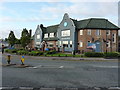
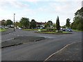
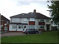
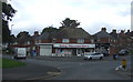
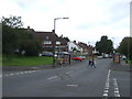
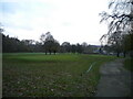
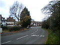
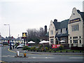
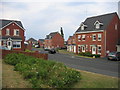
17 photos from this area
Area Information
Key information about the B68 9DP including its size, population, and administrative classification.
- Area Type
- Postcode
- Area Size
- 8072 m²
- Population
- 1538
- Population Density
- 6675 people/km²
House Prices in B68 9DP
14
Properties
£171,389
Average Sold Price
£76,000
Lowest Price
£380,000
Highest Price
Showing 14 properties
| Address | Type | Beds | Baths | Last Sale Price | Last Sale Date | |
|---|---|---|---|---|---|---|
| 59 Broadway, Oldbury, B68 9DP | Terraced | 4 | 2 | £183,000 | Jul 2024 | |
| 79 Broadway, Oldbury, B68 9DP | house | 4 | 3 | £380,000 | Oct 2023 | |
| 57 Broadway, Oldbury, B68 9DP | Semi-detached | 2 | 1 | £120,000 | Sep 2022 | |
| 81 Broadway, Oldbury, B68 9DP | Semi-detached | 4 | 3 | £155,000 | Dec 2020 | |
| 61 Broadway, Oldbury, B68 9DP | Semi-detached | 4 | 1 | £200,000 | Dec 2018 | |
| 69 Broadway, Oldbury, B68 9DP | Semi-detached | 3 | - | £137,500 | Dec 2015 | |
| 75 Broadway, Oldbury, B68 9DP | house | 3 | - | £135,000 | Dec 2014 | |
| 63 Broadway, Oldbury, B68 9DP | Semi-detached | 4 | - | £156,000 | Jun 2014 | |
| 67 Broadway, Oldbury, B68 9DP | Terraced | - | - | £76,000 | Nov 1999 | |
| 65 Broadway, Oldbury, B68 9DP | house | - | - | - | - |
Page 1 of 2
Energy Efficiency in B68 9DP
Amenities
Schools
| Rank | School | Type | Entry gender | Ages |
|---|
Explore more schools in this area
Go to Schools tabDemographics
Household Size
Family (3-5 people)
most common
Accommodation Type
Houses
most common
Tenure
58
majority
Ethnic Group
White
most common
Religion
N/A
most common
Household Composition
N/A
most common
Age
47
median
Adults (30-64 years)
most common
Household Deprivation
N/A
with no deprivation
NS-SEC
21
in Lower managerial occupations
Explore more demographic insights in this area
Go to Demographics tabPlanning
Planning Constraints
- Flood RiskPremium
- Ramsar Wetland SitesPremium
- Area of Outstanding Natural BeautyPremium
- Protected Nature ReservePremium
- Protected WoodlandPremium