Area Overview for B68 9DJ
Photos of B68 9DJ
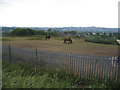
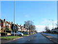
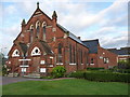
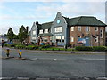
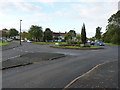
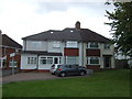
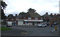
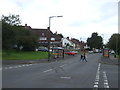
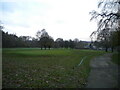
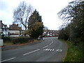
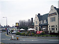
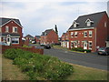
17 photos from this area
Area Information
Key information about the B68 9DJ including its size, population, and administrative classification.
- Area Type
- Postcode
- Area Size
- 1.1 hectares
- Population
- 1846
- Population Density
- 5421 people/km²
House Prices in B68 9DJ
30
Properties
£187,404
Average Sold Price
£78,250
Lowest Price
£322,500
Highest Price
Showing 30 properties
| Address | Type | Beds | Baths | Last Sale Price | Last Sale Date | |
|---|---|---|---|---|---|---|
| 18 Broadway Croft, Oldbury, B68 9DJ | Detached | 3 | 2 | £285,000 | Aug 2025 | |
| 17 Broadway Croft, Oldbury, B68 9DJ | Detached | 3 | 1 | £243,000 | May 2025 | |
| 15 Broadway Croft, Oldbury, B68 9DJ | house | - | - | £322,500 | Feb 2022 | |
| 26 Broadway Croft, Oldbury, B68 9DJ | Semi-detached | 3 | - | £300,000 | Dec 2021 | |
| 30 Broadway Croft, Oldbury, B68 9DJ | Semi-detached | 3 | 1 | £187,000 | Apr 2018 | |
| 22 Broadway Croft, Oldbury, B68 9DJ | house | - | - | £165,000 | Jul 2017 | |
| 10 Broadway Croft, Oldbury, B68 9DJ | Semi-detached | 3 | 1 | £174,500 | Jul 2009 | |
| 24 Broadway Croft, Oldbury, B68 9DJ | Terraced | - | - | £173,000 | May 2008 | |
| 12 Broadway Croft, Oldbury, B68 9DJ | Semi-detached | 3 | 1 | £168,000 | Jun 2003 | |
| 28 Broadway Croft, Oldbury, B68 9DJ | house | - | - | £157,000 | May 2003 |
Page 1 of 3
Energy Efficiency in B68 9DJ
Amenities
Schools
| Rank | School | Type | Entry gender | Ages |
|---|
Explore more schools in this area
Go to Schools tabDemographics
Household Size
Family (3-5 people)
most common
Accommodation Type
Houses
most common
Tenure
73
majority
Ethnic Group
White
most common
Religion
N/A
most common
Household Composition
N/A
most common
Age
47
median
Adults (30-64 years)
most common
Household Deprivation
N/A
with no deprivation
NS-SEC
28
in Lower managerial occupations
Explore more demographic insights in this area
Go to Demographics tabPlanning
Planning Constraints
- Flood RiskPremium
- Ramsar Wetland SitesPremium
- Area of Outstanding Natural BeautyPremium
- Protected Nature ReservePremium
- Protected WoodlandPremium