Area Overview for B68 0EN
Photos of B68 0EN
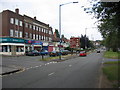
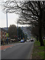
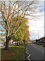
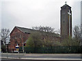
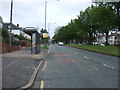
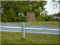
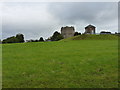
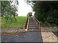
25 photos from this area
Area Information
Key information about the B68 0EN including its size, population, and administrative classification.
- Area Type
- Postcode
- Area Size
- 1.4 hectares
- Population
- 1619
- Population Density
- 4678 people/km²
House Prices in B68 0EN
31
Properties
£179,170
Average Sold Price
£82,000
Lowest Price
£287,500
Highest Price
Showing 31 properties
| Address | Type | Beds | Baths | Last Sale Price | Last Sale Date | |
|---|---|---|---|---|---|---|
| 49 Castle Road West, Oldbury, B68 0EN | Semi-detached | 3 | 2 | £285,000 | Mar 2023 | |
| 37 Castle Road West, Oldbury, B68 0EN | Semi-detached | 3 | 1 | £270,000 | Nov 2022 | |
| 29 Castle Road West, Oldbury, B68 0EN | house | - | - | £266,000 | Mar 2022 | |
| 71 Castle Road West, Oldbury, B68 0EN | Semi-detached | 3 | 1 | £280,000 | Aug 2021 | |
| 57 Castle Road West, Oldbury, B68 0EN | house | - | - | £287,500 | Aug 2021 | |
| 41 Castle Road West, Oldbury, B68 0EN | house | - | - | £244,000 | Mar 2021 | |
| 61 Castle Road West, Oldbury, B68 0EN | house | - | - | £237,500 | Oct 2018 | |
| 31 Castle Road West, Oldbury, B68 0EN | Semi-detached | 3 | 1 | £176,000 | Feb 2017 | |
| 43 Castle Road West, Oldbury, B68 0EN | Semi-detached | 3 | 1 | £138,000 | Jan 2015 | |
| 27 Castle Road West, Oldbury, B68 0EN | Semi-detached | 3 | - | £170,000 | Nov 2014 |
Page 1 of 4
Energy Efficiency in B68 0EN
Amenities
Schools
| Rank | School | Type | Entry gender | Ages |
|---|
Explore more schools in this area
Go to Schools tabDemographics
Household Size
Family (3-5 people)
most common
Accommodation Type
Houses
most common
Tenure
82
majority
Ethnic Group
White
most common
Religion
N/A
most common
Household Composition
N/A
most common
Age
47
median
Adults (30-64 years)
most common
Household Deprivation
N/A
with no deprivation
NS-SEC
36
in Lower managerial occupations
Explore more demographic insights in this area
Go to Demographics tabPlanning
Planning Constraints
- Flood RiskPremium
- Ramsar Wetland SitesPremium
- Area of Outstanding Natural BeautyPremium
- Protected Nature ReservePremium
- Protected WoodlandPremium